Summary
The ideal streamflow range for the river is between 200 and 800 cfs. The class rating for the river is class II to III, which means it is suitable for intermediate paddlers. The segment mileage of the river is approximately 22 miles.
The river features several rapids and obstacles, including the "Boulder Drop," which is a class III rapid that requires careful maneuvering. The "Wagontrain" and "Decapitation Rock" rapids are also noteworthy and require skilled paddling.
There are specific regulations that apply to the Luckiamute River. For example, motorized boats are not allowed on the river, and there is a limit on the number of people who can paddle in a group. Additionally, visitors are required to obtain a permit before using the river.
Overall, the Luckiamute River is a great destination for intermediate paddlers who are looking for a challenging yet rewarding whitewater experience. It is important to follow all regulations and safety measures when paddling on this river to ensure a safe and enjoyable trip.
°F
°F
mph
Wind
%
Humidity
15-Day Weather Outlook
River Run Details
| Last Updated | 2025-06-28 |
| River Levels | 125 cfs (3.26 ft) |
| Percent of Normal | 58% |
| Status | |
| Class Level | ii-iii |
| Elevation | ft |
| Streamflow Discharge | cfs |
| Gauge Height | ft |
| Reporting Streamgage | USGS 14190500 |
5-Day Hourly Forecast Detail
Nearby Streamflow Levels
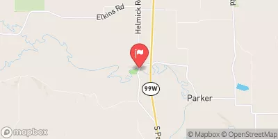 Luckiamute River Near Suver
|
1190cfs |
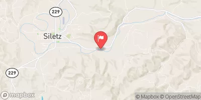 Siletz River At Siletz
|
2150cfs |
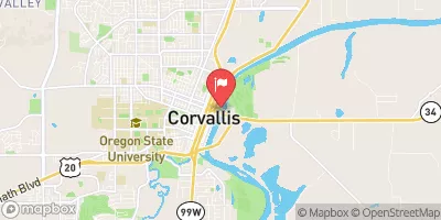 Willamette River At Corvallis
|
10300cfs |
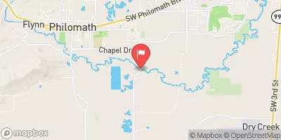 Marys River Near Philomath
|
296cfs |
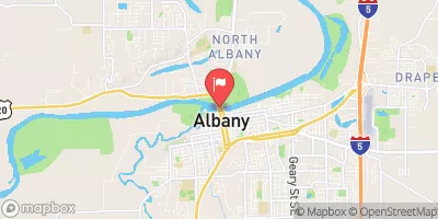 Willamette River At Albany
|
12600cfs |
 Santiam River At Jefferson
|
6090cfs |


 Luckiamute River
 Yaquina River
 Little Luckiamute River
 Siletz River