Summary
The ideal streamflow range for this river run is between 1200 and 3000 cfs, which typically occurs between December and April. The river is classified as a Class III-IV, making it suitable for intermediate to advanced paddlers.
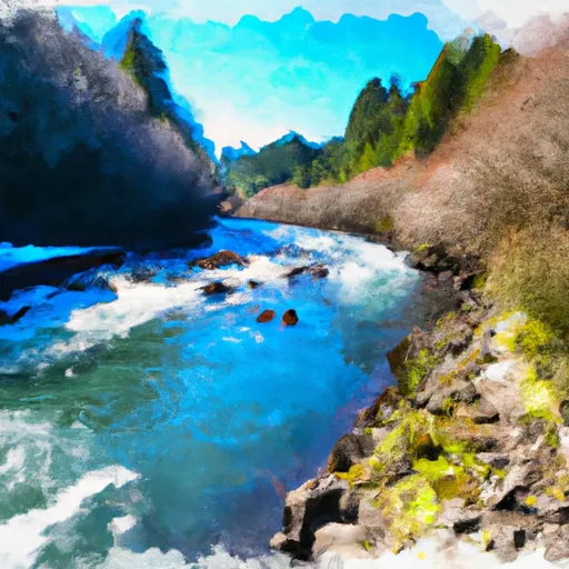
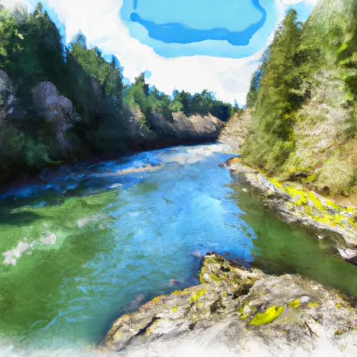
The segment mileage for the Yaquina River run is approximately 5 miles, starting at the put-in at Lower Yaquina Bay Road and ending at the take-out at the Teed Road Bridge. Along the way, paddlers will encounter several rapids and obstacles, including the Class III+ "S-turn" rapid and the Class IV "Vortex" rapid.
It is important to note that the Yaquina River run is located on private property, and paddlers must obtain permission from landowners before accessing the river. Additionally, there are regulations in place to protect the spawning grounds of native fish species, including Chinook salmon and steelhead trout. Paddlers are advised to avoid disturbing these areas and to stay on designated paths and access points to minimize impact on the ecosystem.
°F
°F
mph
Wind
%
Humidity
15-Day Weather Outlook
River Run Details
| Last Updated | 2025-06-28 |
| River Levels | 182 cfs (2.67 ft) |
| Percent of Normal | 35% |
| Status | |
| Class Level | iii-iv |
| Elevation | ft |
| Streamflow Discharge | cfs |
| Gauge Height | ft |
| Reporting Streamgage | USGS 14305500 |
5-Day Hourly Forecast Detail
Nearby Streamflow Levels
 Siletz River At Siletz
|
2150cfs |
 Luckiamute River Near Suver
|
1190cfs |
 Marys River Near Philomath
|
296cfs |
 Willamette River At Corvallis
|
10300cfs |
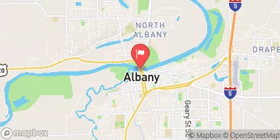 Willamette River At Albany
|
12600cfs |
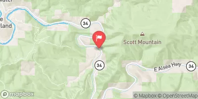 Alsea River Near Tidewater
|
944cfs |


 Yaquina River
 Luckiamute River
 Little Luckiamute River
 Siletz River
 Twin Bridges Memorial Park
 Ellmaker State Wayside
 Moonshine County Park