2026-02-20T04:00:00-08:00
...A SERIES OF WEAK SYSTEMS WILL BRING WIDESPREAD SNOW TO THE NORTHERN OREGON AND SOUTHERN WASHINGTON COAST AND CASCADE RANGES THROUGH AT LEAST THURSDAY NIGHT... .A broad area of low pressure will continue to bring widespread snow showers to elevations above 1500 ft through at least Thursday night. Give the showery nature of the precipitation and uncertainty as to the exact track of the Wednesday night system, there is some variability in forecast total snow fall accumulations through Thursday night. While the forecast remains on track for overall snowfall totals, where exactly the highest accumulations remain in flux. * WHAT...Snow. Additional snow accumulations of 2 to 7 inches through Wednesday night and another 1 to 3 inches of snow Thursday morning through Thursday night. * WHERE...Foothills of the Northern and Central Oregon Cascades, North and Central Coast Range Mountains of Oregon, Willapa Hills, and South Washington Cascade Foothills. * WHEN...Until 4 AM PST Friday. * IMPACTS...Roads, and especially bridges and overpasses, will likely become slick and hazardous.
Summary
The ideal streamflow range for this section is between 400-800 cfs, as water levels below 400 cfs may be too low to navigate and levels above 800 cfs may be too dangerous. The segment covers approximately 6 miles and is rated as a Class III-IV difficulty level, with several challenging rapids such as "Toilet Bowl" and "Pinball."
As with all whitewater runs, safety is a top priority. Kayakers and rafters should wear helmets and personal flotation devices at all times and be familiar with rescue techniques. The Nelson Creek segment is also subject to specific regulations, including a permit requirement for all commercial outfitters. Additionally, the use of motorized watercraft is not permitted on this section of the river.
Overall, the Nelson Creek segment of the Whitewater River provides a thrilling and challenging experience for experienced kayakers and rafters. It is important to consider water levels and safety regulations before embarking on any whitewater adventure.
°F
°F
mph
Wind
%
Humidity
15-Day Weather Outlook
River Run Details
| Last Updated | 2025-06-28 |
| River Levels | 3 cfs (2.22 ft) |
| Percent of Normal | 32% |
| Status | |
| Class Level | iii-iv |
| Elevation | ft |
| Streamflow Discharge | cfs |
| Gauge Height | ft |
| Reporting Streamgage | USGS 14306340 |
5-Day Hourly Forecast Detail
Nearby Streamflow Levels
 East Fork Lobster Creek Near Alsea
|
21cfs |
 Long Tom River Near Noti
|
228cfs |
 Long Tom River Near Alvadore
|
44cfs |
 Siuslaw River Near Mapleton
|
1640cfs |
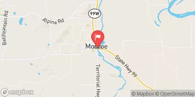 Long Tom River At Monroe
|
671cfs |
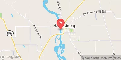 Willamette River At Harrisburg
|
6480cfs |


 Upper Lake Creek
 Hult Pond - Dispersed
 Upper Lake Creek Dispersed Camping
 Whittaker Creek
 Whittaker Creek Campground
 Whittaker Creek Recreation Site
 Hult Reservoir
 Whittaker Creek Campground
 Nelson Creek
 Lake Creek
 Lobster Creek
 Fern Park
 Richardson Park
 Ralph Johnson Park
 Bolton Hill Sports Complex
 Territorial Park