2026-02-20T04:00:00-08:00
...A SERIES OF WEAK SYSTEMS WILL BRING WIDESPREAD SNOW TO THE NORTHERN OREGON AND SOUTHERN WASHINGTON COAST AND CASCADE RANGES THROUGH AT LEAST THURSDAY NIGHT... .A broad area of low pressure will continue to bring widespread snow showers to elevations above 1500 ft through at least Thursday night. Give the showery nature of the precipitation and uncertainty as to the exact track of the Wednesday night system, there is some variability in forecast total snow fall accumulations through Thursday night. While the forecast remains on track for overall snowfall totals, where exactly the highest accumulations remain in flux. * WHAT...Snow. Additional snow accumulations of 2 to 7 inches through Wednesday night and another 1 to 3 inches of snow Thursday morning through Thursday night. * WHERE...Foothills of the Northern and Central Oregon Cascades, North and Central Coast Range Mountains of Oregon, Willapa Hills, and South Washington Cascade Foothills. * WHEN...Until 4 AM PST Friday. * IMPACTS...Roads, and especially bridges and overpasses, will likely become slick and hazardous.
Summary
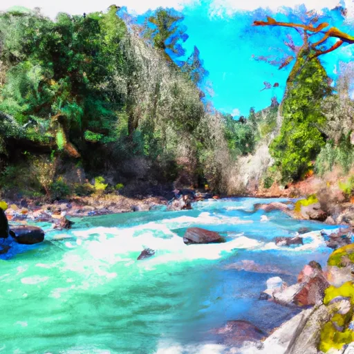
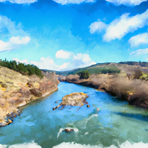
The ideal streamflow range for this river is between 300-800 cubic feet per second (cfs) during the months of April to June, with the best conditions in May. This river is rated as a Class III-IV, meaning it has moderate to difficult rapids with waves and obstacles that require some skill and experience to navigate.
The segment mileage for the North Fork Trask River is 10.5 miles, beginning at the bridge on Trask River Road and ending at the confluence of the North and South Forks. There are several notable rapids and obstacles along the way, including Bald Mountain Falls, a Class IV drop with a steep gradient and challenging entrance. Another notable rapid is Lighthouse, a Class III drop with a large boulder in the center that requires precise navigation.
It is important to note that the North Fork Trask River is located on private timberland, and access is only allowed through a permit system. The permits are limited to 25 per day and can be obtained through the Tillamook State Forest website. Additionally, all boaters are required to wear a personal flotation device (PFD) and carry a whistle. The area is also subject to seasonal closures and restrictions, so it is important to check with local authorities before planning a trip.
Overall, the North Fork Trask River offers a thrilling whitewater experience for experienced boaters, with challenging rapids and beautiful scenery. It is important to follow all regulations and safety precautions to ensure an enjoyable and safe trip.
°F
°F
mph
Wind
%
Humidity
15-Day Weather Outlook
River Run Details
| Last Updated | 2025-06-28 |
| River Levels | 161 cfs (3.63 ft) |
| Percent of Normal | 48% |
| Status | |
| Class Level | iii-iv |
| Elevation | ft |
| Streamflow Discharge | cfs |
| Gauge Height | ft |
| Reporting Streamgage | USGS 14301500 |
5-Day Hourly Forecast Detail
Nearby Streamflow Levels
 Tucca Creek Near Blaine
|
15cfs |
 Trask River Above Cedar Creek
|
790cfs |
 Wilson River Near Tillamook
|
779cfs |
 Tualatin River Near Dilley
|
240cfs |
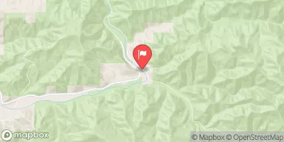 Nehalem River Near Foss
|
1670cfs |
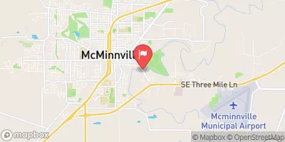 South Yamhill River At Mcminnville
|
1660cfs |
Area Campgrounds
| Location | Reservations | Toilets |
|---|---|---|
 Keenig Creek Campground
|
||
 Jones Creek
|
||
 Elk Creek Campground
|
||
 Dovre Campground
|
||
 Fan Creek Campground
|


 Stones Road
 North Fork Trask River
 Tualatin River
 Trask River
 Wilson River
 County Boudary (Confluence With Wsr) To Rm 47 (Lower End Mcguire Reservoir)