Summary
The ideal streamflow range for this river is between 600 and 1,000 cubic feet per second. The river is rated as a Class III-IV run, which means it is moderately difficult and requires good paddling skills. The segment mileage for the North Fork Siletz River is approximately 9.5 miles.
The river contains several specific rapids and obstacles, including "The Wagon Wheel," "The Plunge," and "The Gorge." "The Wagon Wheel" is a Class III rapid that requires precise maneuvering through several large boulders. "The Plunge" is a Class IV rapid that features a steep drop and requires expert paddling skills. "The Gorge" is another Class III rapid that features tight corners and requires good navigation skills.
There are specific regulations for the North Fork Siletz River area. All boaters are required to wear personal flotation devices (PFDs) at all times while on the river. In addition, all boaters are required to carry a whistle and a throw rope. The river is also closed to boaters during the winter months, from November 1 to April 30, due to hazardous water conditions.
In conclusion, the North Fork Siletz River is a challenging and exciting whitewater river run located in Oregon. With ideal streamflow ranges between 600 and 1,000 cubic feet per second and featuring Class III-IV rapids such as "The Wagon Wheel," "The Plunge," and "The Gorge," this river run is a favorite among experienced paddlers. However, it is important to adhere to specific regulations such as wearing PFDs and carrying a whistle and a throw rope for safety reasons.
°F
°F
mph
Wind
%
Humidity
15-Day Weather Outlook
River Run Details
| Last Updated | 2025-06-28 |
| River Levels | 182 cfs (2.67 ft) |
| Percent of Normal | 35% |
| Status | |
| Class Level | iii-iv |
| Elevation | ft |
| Streamflow Discharge | cfs |
| Gauge Height | ft |
| Reporting Streamgage | USGS 14305500 |
5-Day Hourly Forecast Detail
Nearby Streamflow Levels
 Siletz River At Siletz
|
2150cfs |
 Nestucca River Near Beaver
|
1220cfs |
 Luckiamute River Near Suver
|
1190cfs |
 Tucca Creek Near Blaine
|
23cfs |
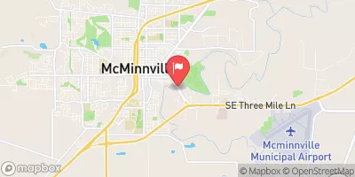 South Yamhill River At Mcminnville
|
2820cfs |
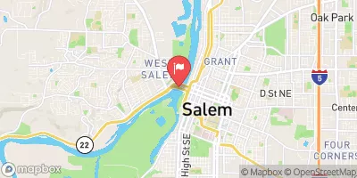 Willamette River At Salem
|
22400cfs |


 Ichwhit Park
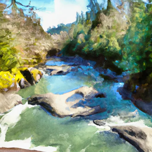 North Fork Siletz River
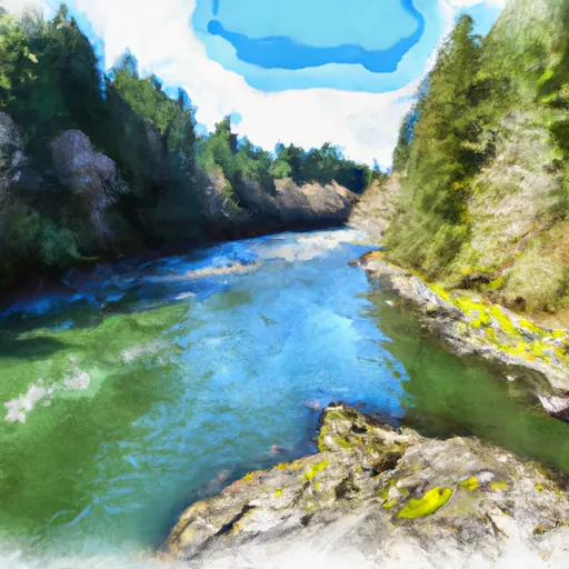 Siletz River
 Upstream Crossing Of Eastern Siuslaw Nf Boundary To Confluence With Sampson Creek
 Little Luckiamute River
 Confluence With Sampson Creek To Downstream Crossing Of Western Siuslaw Nf Boundary
 South Yamhill River
 HB Van Duzer Forest State Scenic Corridor
 Sand Point Park
 Siletz Bay National Wildlife Refuge
 Regatta Grounds Park
 Fort Yamhill State Heritage Site