2026-02-19T10:00:00-08:00
* WHAT...For the Winter Weather Advisory below 1500 ft, wet snow expected. Additional snow accumulations of 1 to 3 inches. For the Winter Storm Warning above 1500 ft, heavy snow expected. Additional snow accumulations 3 to 6 inches for the passes north of I-5, and the Illinois Valley except up to 10 inches for the southern portions of the Illinois Valley. 1 to 2 ft in the Kalmiopsis Wilderness region. * WHERE...For the Winter Weather Advisory below 1500 ft, this includes Grants Pass, Wilderville, Merlin, Galice and Agness as well as portions of I-5 and Highway 199. For the Winter Storm Warning above 1500 ft, this includes Cave Junction, Obrien, Selma and Wolf Creek. This also includes portions of I-5 and Highway 199 and the Sexton Pass, Smith Hill and Stage Pass on I-5, Hayes Hill on Highway 199 and Bear Camp road in the Kalmiopsis Wilderness. * WHEN...Until 10 AM PST Thursday. * IMPACTS...Travel may be very difficult to impossible. The hazardous conditions could impact the evening and morning commutes. * ADDITIONAL DETAILS...Precipitation will be lighter and more showery tonight into Wednesday with mostly light accumulations. Another round of heavier snowfall is expected Wednesday night into Thursday. Visit weather.gov/mfr/winter for additional snow probabilities
Summary
The ideal streamflow range for this section is between 300-800 cfs, although experienced paddlers may enjoy higher flows.
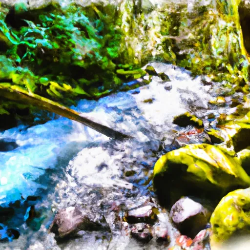
The segment spans 3.5 miles and is rated as a Class III-IV section, with several challenging rapids such as The Ledge, The Notch, and The Chute. Paddlers should be prepared for steep drops, narrow chutes, and technical maneuvering.
There are specific regulations in place for the Howard Creek Seg B section, including a permit requirement for commercial outfitters and a minimum age requirement of 14 for participants. Paddlers should also be aware of the potential for log jams and other hazards, as well as the need to practice Leave No Trace principles in order to protect the natural environment.
According to the American Whitewater website, the Howard Creek Seg B section of the Whitewater River is best run in the late spring or early summer, when snowmelt and rain provide optimal flow conditions. Paddlers should also be aware that the nearby Wild and Scenic section of the Whitewater River is designated as a protected area and subject to additional regulations and restrictions.
°F
°F
mph
Wind
%
Humidity
15-Day Weather Outlook
River Run Details
| Last Updated | 2025-06-28 |
| River Levels | 3550 cfs (3.86 ft) |
| Percent of Normal | 107% |
| Status | |
| Class Level | iii-iv |
| Elevation | ft |
| Streamflow Discharge | cfs |
| Gauge Height | ft |
| Reporting Streamgage | USGS 14372300 |
5-Day Hourly Forecast Detail
Nearby Streamflow Levels
 Rogue River Near Agness
|
3310cfs |
 West Fork Cow Creek Near Glendale
|
101cfs |
 Applegate River Near Wilderville
|
345cfs |
 Rogue River At Grants Pass
|
1790cfs |
 Illinois River Near Kerby
|
662cfs |
 South Fork Coquille River At Powers
|
366cfs |
Area Campgrounds
| Location | Reservations | Toilets |
|---|---|---|
 Rollover Bar (R6.65R)
|
||
 Island Beach (R6.95L)
|
||
 Big Windy (R8.10L)
|
||
 Upper Black Bar (R8.20R)
|
||
 Slanted Slate (R6.40L)
|
||
 Gravel Slide (R7.60R)
|
River Runs
-
 Howard Creek Seg B
-
 Howard Creek Seg A
-
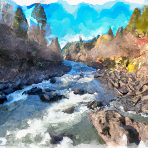 Confluence With Chief Creek To Confluence With Breezy Creek
-
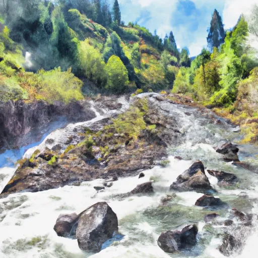 Landslide (Se1/4 Of Sec 33, T35S, R10W) To Confluence With West Indigo Creek
-
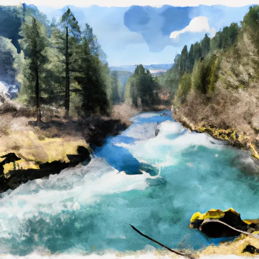 West Indigo Lake (Sw1/4 Of Sec 26, T34S, R7W) To Confluence With East Fork Indigo
-
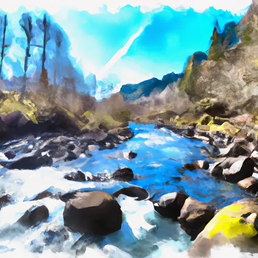 Confluence With Breezy Creek To Confluence With West Fork Indigo Creek


 Galice Boat Landing
 Argo Recreation Site and Boat Ramp