Summary
The river run is rated as Class II to III, with several obstacles such as rapids, waves, and rocks. The best time to float this section of water is between May and September, with a recommended flow of 500 to 2,500 cubic feet per second (cfs). The river run takes about 2 to 3 hours to complete, depending on water flow and stopping points. Overall, the Bend to Tumalo State Park Riverhouse Run is a fun and exciting adventure for experienced and novice floaters alike.
°F
°F
mph
Wind
%
Humidity
15-Day Weather Outlook
River Run Details
| Last Updated | 2023-06-13 |
| River Levels | 771 cfs (2.84 ft) |
| Percent of Normal | 91% |
| Optimal Range | 500-1500 cfs |
| Status | Runnable |
| Class Level | IV to IV+ |
| Elevation | 1,951 ft |
| Run Length | 5.0 Mi |
| Gradient | 57 FPM |
| Streamflow Discharge | 919 cfs |
| Gauge Height | 3.2 ft |
| Reporting Streamgage | USGS 14076500 |
5-Day Hourly Forecast Detail
Nearby Streamflow Levels
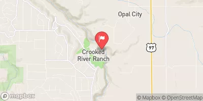 Crooked River Blw Osborne Canyon
|
170cfs |
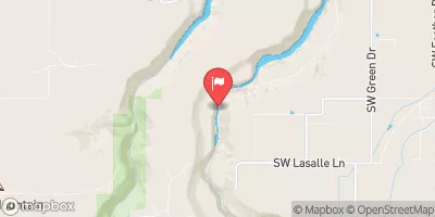 Crooked River Below Opal Springs
|
1190cfs |
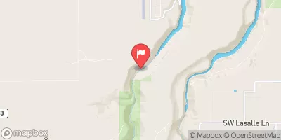 Deschutes River Near Culver
|
923cfs |
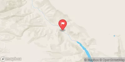 Metolius River Near Grandview
|
1330cfs |
 Mckenzie River Bl Payne Cr
|
240cfs |
 Mckenzie R Blw Trail Br Dam Nr Belknap Springs
|
839cfs |


 Southwest Shevlin Hixon Drive 172, Bend
 Bend to Tumalo State Park (Riverhouse Run)
 Tumalo State Park to Cline Falls State Park
 Dillon Falls to Mount Bachelor Village (Big Eddy)
 Benham Falls to Dillon Falls
 Simondson River Easement
 Magill River Easement
 Awbrey Village Park
 Deschutes River Trail
 Summit Park