Summary
The best time to float this section of water is from May to September, with recommended flows between 1,500-4,000 cfs. Specific river obstacles to be aware of are the rocky ledges and narrow channels, particularly at the entrance to Whitehorse and Oak Springs. Overall, this is a beautiful and exciting river run best suited for experienced paddlers.
°F
°F
mph
Wind
%
Humidity
15-Day Weather Outlook
River Run Details
| Last Updated | 2023-06-13 |
| River Levels | 512 cfs (2.05 ft) |
| Percent of Normal | 91% |
| Optimal Range | 700-2000 cfs |
| Status | Runnable |
| Class Level | IV- to IV+ |
| Elevation | 1,951 ft |
| Run Length | 15.5 Mi |
| Gradient | 38 FPM |
| Streamflow Discharge | 923 cfs |
| Gauge Height | 3.2 ft |
| Reporting Streamgage | USGS 14076500 |
5-Day Hourly Forecast Detail
Nearby Streamflow Levels
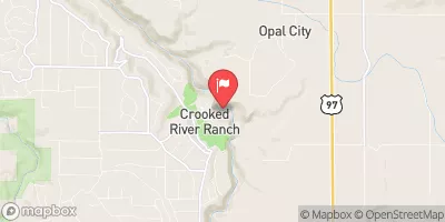 Crooked River Blw Osborne Canyon
|
170cfs |
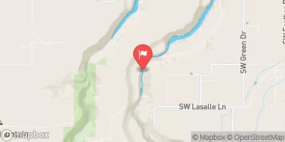 Crooked River Below Opal Springs
|
1190cfs |
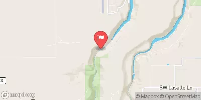 Deschutes River Near Culver
|
923cfs |
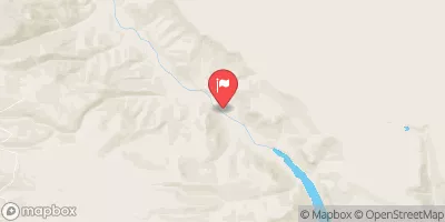 Metolius River Near Grandview
|
1330cfs |
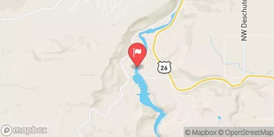 Deschutes River Near Madras
|
4140cfs |
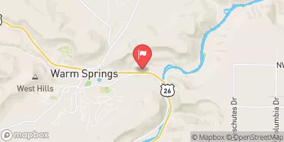 Shitike Creek Near Warm Springs
|
104cfs |


 Steelhead Falls Campground
 Cyrus Horse Camp
 Haystack West Shore Campground and Day Use Area
 Haystack South Shore Group Campground
 Skull Hollow Campground
 Skull Hollow
 Canyon Run (Lower Bridge to Billy Chinook Res.)
 Cline Falls State Park to Lower Bridge
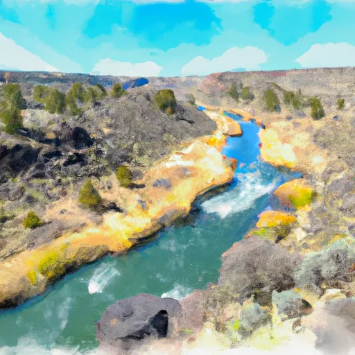 Crooked River National Grassland Boundary To Confluence With Deschutes River
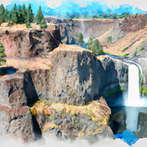 Cline Falls State Scenic Viewpoint
 Quince Park
 Fairhaven Park
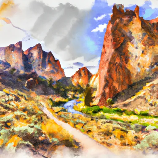 Smith Rock State Park
 Kalama Park