None
ESFMFR A warm sourced atmospheric river, commonly referred to as a Pineapple Express, will likely bring periods of moderate to heavy rainfall Monday afternoon through Tuesday. Current rainfall forecasts show widespread amounts of 2 to 4 inches along the coast with locally up to 6 inches in the favored coast ranges of Curry County. Up to an inch of rain is expected for many of the inland West Side valleys, with 1 to 3 inches along the Cascades and mountains and south slopes of Siskiyou County, and between a quarter of an inch and an inch across the East Side. Compounding the hydrological concerns, the warm rain is expected with snow levels well above 7000 feet, which will result in snowmelt and therefore higher than expected runoff in area watersheds. Small streams and creeks are likely to rise rapidly during this event with nuisance flooding and ponding of water on roadways during periods of heavy rain. Significant rises on main stem rivers and flashier creeks are also expected. Given that rivers are still running fairly low for this time of year, river flooding potential is a bit lower than usual, but there is at least a low probability of some flooding, especially in the Coquille Basin, and along the more flashier streams such as Deer Creek in Roseburg and Little Butte Creek in Eagle Point. While the exact scenario for the heavy rainfall and potential flooding remains uncertain, we will continue to monitor the forecasts and update accordingly. Flood Watches may be issued by the National Weather Service if this situation worsens.
Summary
The river features obstacles such as Rainie Falls and Rogue River Ranch, which require careful navigation. The best time to float this section is between May and September with recommended water flows of 1,500-3,000 cfs. This section is suitable for intermediate paddlers with some experience in whitewater.
°F
°F
mph
Wind
%
Humidity
15-Day Weather Outlook
River Run Details
| Last Updated | 2023-06-13 |
| River Levels | 2400 cfs (1.98 ft) |
| Percent of Normal | 86% |
| Optimal Range | 700-3500 cfs |
| Status | Runnable |
| Class Level | II to II+ |
| Elevation | 1,149 ft |
| Run Length | 33.0 Mi |
| Gradient | 8 FPM |
| Streamflow Discharge | 1830 cfs |
| Gauge Height | 1.6 ft |
| Reporting Streamgage | USGS 14359000 |
5-Day Hourly Forecast Detail
Nearby Streamflow Levels
 Rogue River At Grants Pass
|
1930cfs |
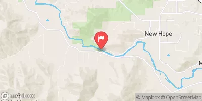 Applegate River Near Wilderville
|
350cfs |
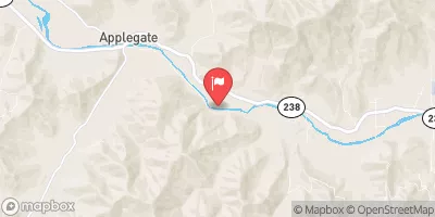 Applegate River Near Applegate
|
211cfs |
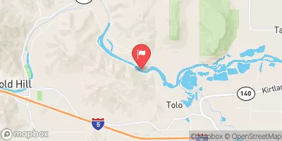 Rogue River At Raygold Near Central Point
|
1830cfs |
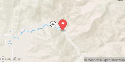 Sucker Cr Bl Lt Grayback Cr Nr Holland
|
95cfs |
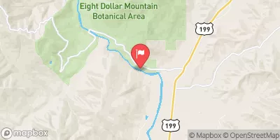 Illinois River Near Kerby
|
806cfs |
Area Campgrounds
| Location | Reservations | Toilets |
|---|---|---|
 Schroeder County Park
|
||
 Riverfront
|
||
 Rogue river campground
|
||
 Whitehorse County Park
|
||
 Chinook winds rv
|
||
 Griffin County Park
|


 Baker Park
 Grants Pass to Grave Creek