Make an Announcement

Communicate warnings, disperse advice, and share.


HELLS CANYON (HELLS CANYON DAM TO PITTSBURG LANDING)

Whitewater River Run


Oregon Snake River

Hells Canyon (Hells Canyon Dam To Pittsburg Landing)

Class III TO IV

STREAMFLOW: 22,700 CFS

Runnable
79°, Chance Showers

The Hells Canyon Dam to Pittsburg Landing section of the Snake River in Oregon is a challenging river run with Class III-IV rapids and beautiful scenery. The best time to float this section is in the spring when the river is high with recommended CFS of 10,000 or higher. There are several river obstacles to navigate, including Granite Creek Rapid, Wild Sheep Rapid, and Devil's Tooth Rapid. Experienced rafters and kayakers will enjoy the technical runs and stunning canyon views along this 22-mile stretch.

Weather today, A slight chance of showers, then a chance of showers and thunderstorms after noon. Some of the storms could produce gusty winds. Mostly cloudy, with a high near 79. North northeast wind 5 to 9 mph. Chance of precipitation is 30%.

Status Runnable
Class Level III to IV
Elevation 1,471 ft
Run Length 31.5 Mi
Gradient 12 FPM
Streamflow Discharge 22700 cfs
Gauge Height 67.9 ft
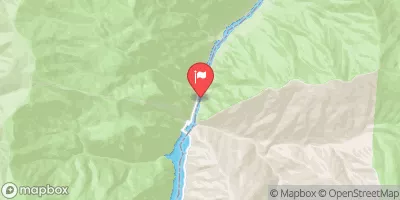
Reporting Streamgage Snake River At Hells Canyon Dam Id-Or State Line
USGS 13290450

Nearby Snowpack and Streamflow Levels

Gauge Streamflow Stage
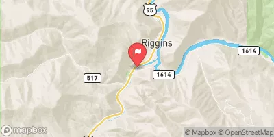
Little Salmon River At Riggins Id
USGS 13316500
3,320 cfs 6.9 ft
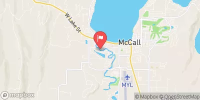
Lake Fork Payette River Ab Jumbo Cr Nr Mccall Id
USGS 13240000
596 cfs 6.5 ft
Crane Creek At Mouth Nr Weiser Id
USGS 13265500
4 cfs 1.6 ft
Snake River Near Anatone
USGS 13334300
75,800 cfs 12.4 ft
Nf Payette River At Mccall Id
USGS 13239000
1,260 cfs 4.7 ft
Snake River Bl Mcduff Rapids At China Gardens
USGS 13317660
73,300 cfs 16.8 ft
Salmon River At White Bird Id
USGS 13317000
43,000 cfs 23.8 ft
Snake River At Hells Canyon Dam Id-Or State Line
USGS 13290450
22,700 cfs 67.9 ft
Weiser River Nr Cambridge Id
USGS 13258500
1,160 cfs 5.2 ft
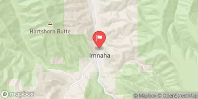
Imnaha River At Imnaha
USGS 13292000
150 cfs ft
Snotel Site Snowpack 24hr Change
Schneider Meadows
SNOTEL 736
4" -4"
Brundage Reservoir
SNOTEL 370
1" 0"
Aneroid Lake #2
SNOTEL 302
28" -2"

Popular Destinations

Campground Campsites Reservations Toilets Showers Elevation
Seven Devils - Hells Canyon Wilderness 7 7,513 ft
McCormick Park - Hells Canyon National Rec Area 139 1,816 ft
Ollokot 13 4,097 ft
Saddle Creek 7 6,543 ft
Hells Canyon Park - Hells Canyon National Rec Area 24 1,722 ft
Lafferty 8 4,286 ft
McCormick Park 37 1,815 ft
Windy Saddle 4 7,585 ft
Blackhorse 16 3,993 ft
Copperfield Park 62 1,717 ft
Seven Devils 10 7,546 ft
Ski Area Snowpack Air Temperature 5 Day Forecast
Cottonwood Butte 0" 88° 0"
River Run Streamflow Length Class
Pittsburg Landing to Heller Bar 22700.0cfs 46.0 Mi II to III
Hells Canyon (Hells Canyon Dam to Pittsburg Landing) 22700.0cfs 31.5 Mi III to IV
Hammer Creek to Heller Bar (Lower Salmon) 3320.0cfs 50.0 Mi III- to IV

Log Your Visit

When was your last visit to Hells Canyon (Hells Canyon Dam to Pittsburg Landing)?

Add a Photo

How was it? How were conditions?

Rate the paddle


Submit

Leave A Review

Hells Canyon (Hells Canyon Dam To Pittsburg Landing)

Submit

Upload an Image

Hells Canyon (Hells Canyon Dam To Pittsburg Landing)
Login

Need an Account?

Forgot Your Password?

Delete User Account

Welcome to Snoflo


Continue with a free account

Already Have an Account?


Snoflo Premium

Your first week's free. Cancel anytime

Have a Promo Code?


Already Have an Account?

Signup for Basic Access


Welcome to Snoflo


Continue with a free account

Add Snoflo Premium


Already Have an Account?


Please Verify Your Account

Favorite Limit Reached
Signup for a Free Account

Already Have an Account?