Summary
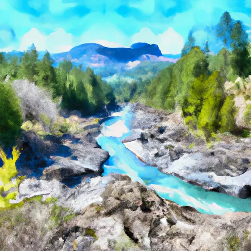
The river features several Class III rapids, including The Rock Garden and The Ledge. The best time to float this section is during the summer months when the water levels are lower, typically between 800-1000 cfs. Higher water levels in the spring can make the run more difficult and dangerous. This section of the river is suitable for intermediate to advanced paddlers, and caution should be taken when navigating around the obstacles.
°F
°F
mph
Wind
%
Humidity
15-Day Weather Outlook
River Run Details
| Last Updated | 2023-06-13 |
| River Levels | 1600 cfs (3.37 ft) |
| Percent of Normal | 63% |
| Optimal Range | 800-3000 cfs |
| Status | Runnable |
| Class Level | II- to II |
| Elevation | 1,103 ft |
| Run Length | 7.0 Mi |
| Streamflow Discharge | 1060 cfs |
| Gauge Height | 2.9 ft |
| Reporting Streamgage | USGS 14181500 |


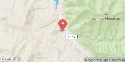
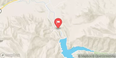
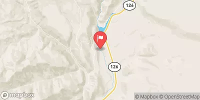
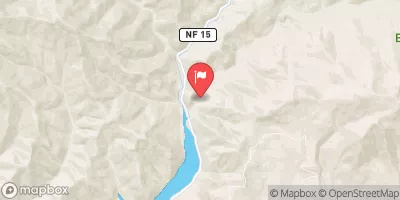
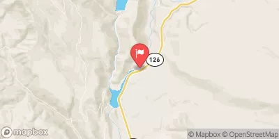
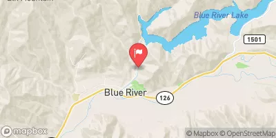
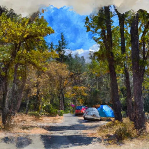 Frissell Crossing Campground
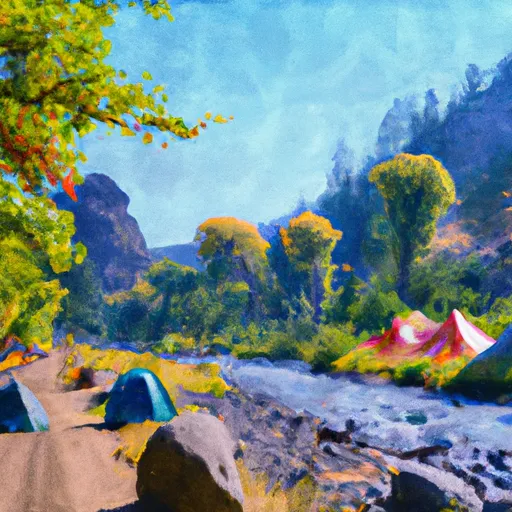 Roaring River Group Campground
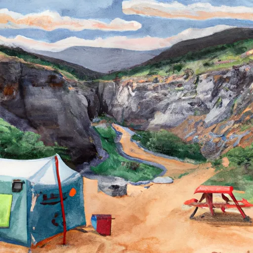 Box Canyon Horse Camp
 Red Diamond Group Campground
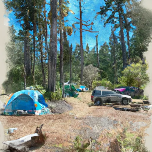 Skookum Creek Campground
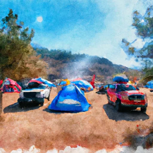 Hard Rock Group Campground
 Frissell Crossing Campground
 Mill City to Mehama
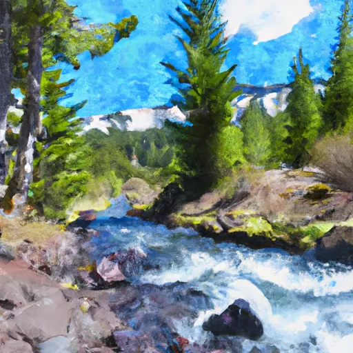 Headwaters To Three Sisters Wilderness Boundary
 Three Sisters Wilderness Boundary To Cougar Reservoir