POLEBRIDGE TO BIG CREEK

River Runs Kayaking Whitewater
November 21, 2024
Winter Weather Advisory
National Weather Service Until 2024-11-21T11:00:00-07:00
* WHAT...Snow expected. Valley accumulations of 1 to 3 inches. Likelihood of moderate impacts in the higher terrain and mountain passes from 3 to 6 inches of snow is greater than 90 percent, and up to a 50 percent chance of isolated major impacts from 6 to 10 inches or more of snow. * WHERE...Marias Pass, Highway 83 Bigfork to Swan Lake, Essex, Polebridge, and Bad Rock Canyon. * WHEN...Until 11 AM MST Thursday. * IMPACTS...For MODERATE impacts from snow, expect disruptions to normal activities. Hazardous traveling conditions. Use extra caution while driving. Closures and disruptions to infrastructure may occur.

SUMMARY

Last Updated 2023-06-13
River Levels 4590 cfs (7.31 ft)
Percent of Normal 35%
Optimal Range 1000-11000 cfs
Status Runnable
Class Level II to III-
Elevation 3,049 ft
Run Length 20.0 Mi
Streamflow Discharge 2630 cfs
Gauge Height 6.0 ft
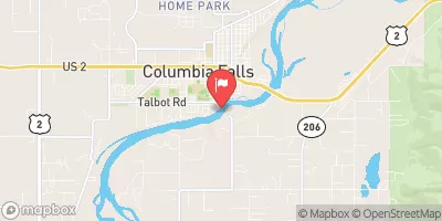
Reporting Streamgage S F Flathead River Nr Columbia Falls Mt
USGS 12362500

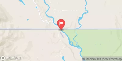
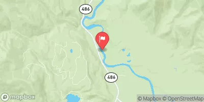
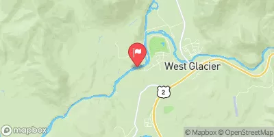
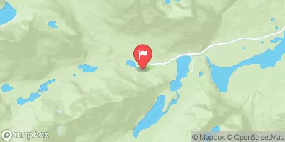
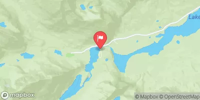
The Polebridge to Big Creek river run in Montana is a 13-mile stretch of the North Fork Flathead River. This run features technical rapids, tight turns, and beautiful scenery. The river is rated as class II-III, making it suitable for intermediate paddlers. The best time to float this section is from June to August when the water levels are high and conditions are optimal. The recommended flow for this run is between 1,000 and 3,000 cfs. Obstacles on the river include Sweepers, strainers, and a few rock gardens. Experienced paddlers should be able to navigate these obstacles with ease.

Weather Forecast

°F

°F

mph

Windspeed

%

Humidity


16-Day Long Term Forecast
       

Get Unparalelled Insights

Explore the Map

Whether you're planning your next ski trip or tracking stream flows for an upcoming rafting expedition, our map offers instant access to essential conditions, forecasts, and trends.

Watershed River Levels

3520

Cubic Feet Per Second

645

Cubic Feet Per Second

525

Cubic Feet Per Second

31

Cubic Feet Per Second

Point of Interest

Les Mason State Park

Les Mason State Park

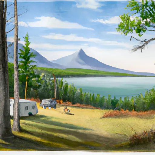
Les Mason State Park is a small but beautiful park located in Montana, United States. The park spans across 42 acres and is situated on the banks of the Clark Fork River. The park is a popular destination for tourists and locals alike, due to its stunning scenery, recreational activities, and historical significance. One of the primary reasons to visit Les Mason State Park is for its breathtaking natural beauty. The park is home to diverse flora and fauna, including several species of birds, mammals, and fish. Visitors can take a stroll along the park's walking trails and enjoy the ...