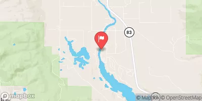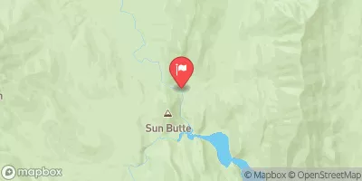
...PROLONGED SNOW EVENT... .A plume of snow will continue to impacted north central Idaho into west central and southwest Montana tonight. The snow activity will decrease in intensity during the day on Friday, then a second plume of precipitation will impact the region late Friday through Saturday. * WHAT...Heavy snow possible. There is a chance of moderate to major winter weather impacts. Total snow accumulations between 10 and 25 inches possible. Winds could gust as high as 40 mph. * WHERE...Marias Pass, Highway 83 Bigfork to Swan Lake, Polebridge, Glacier National Park, Bad Rock Canyon, and Essex. * WHEN...From Friday afternoon through Sunday morning. * IMPACTS...For MAJOR winter weather impacts, expect considerable disruptions to normal activities. Dangerous or impossible traveling conditions. Avoid travel in the impacted areas if possible. Widespread closures and disruptions to infrastructure may occur. The hazardous conditions could impact the Friday evening commute, especially over higher passes.
| Last Updated | |
| River Levels | 4310 cfs ( ft) |
| Percent of Normal | +100% |
| Optimal Range | 900-19000 cfs |
| Status | Too High |
| Class Level | III+ to IV+ |
| Elevation | 2,889 ft |
| Run Length | 26.0 Mi |
| Gradient | 37 FPM |
| Streamflow Discharge | 4310 cfs |
| Gauge Height | ft |
| Reporting Streamgage | USGS 12369000 |