Summary
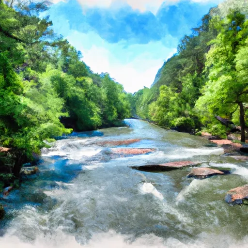
The Whitewater River run in South Carolina is a popular destination for whitewater enthusiasts, offering a challenging and scenic adventure. The ideal streamflow range for this run is typically between 150-350 cfs, with higher flows providing more difficult rapids. The class rating for this run is Class III-IV, with some rapids reaching Class V during high water levels.
The segment mileage for this run is approximately 11 miles and includes several notable rapids, such as Hammer Factor, Gorilla, and Sunshine. These rapids are known for their technical difficulty, steep drops, and powerful hydraulics, making them a thrilling challenge for experienced paddlers.
In terms of regulations, the Chauga and Chattooga rivers are designated as a Wild and Scenic River, meaning that certain regulations are in place to protect the natural environment and ensure visitor safety. These regulations include restrictions on camping, littering, and alcohol consumption, as well as requirements for wearing personal flotation devices and carrying appropriate safety equipment.
Overall, the Whitewater River run South of Cedar Creek Rifle Range to Confluence with Chauga River is an exhilarating whitewater experience that requires skill and experience to navigate safely. With its challenging rapids, beautiful scenery, and important conservation efforts, it remains a beloved destination for whitewater enthusiasts from around the world.
°F
°F
mph
Wind
%
Humidity
15-Day Weather Outlook
River Run Details
| Last Updated | 2026-02-07 |
| River Levels | 408 cfs (1.57 ft) |
| Percent of Normal | 34% |
| Status | |
| Class Level | iii-iv |
| Elevation | ft |
| Streamflow Discharge | cfs |
| Gauge Height | ft |
| Reporting Streamgage | USGS 02177000 |
5-Day Hourly Forecast Detail
Nearby Streamflow Levels
 Chattooga River Near Clayton
|
377cfs |
 Tallulah River Ab Powerhouse
|
42cfs |
 Tallulah River Near Clayton
|
118cfs |
 Twelvemile Creek Near Liberty
|
98cfs |
 Chattahoochee River Near Leaf
|
250cfs |
 Chattahoochee River Near Cornelia
|
432cfs |
Area Campgrounds
| Location | Reservations | Toilets |
|---|---|---|
 Cassidy Bridge Hunt Camp
|
||
 Chau Ram County Park
|
||
 Oconee State Park
|
||
 Long Bottom Ford
|
||
 Lake Yonah County Park
|
||
 Tallulah Gorge State Park
|
River Runs
-
 South Of Cedar Creek Rifle Range To Confluence With Chauga River
-
 1/4 Mile Below Fs 745 And Cassidy Bridge Hunt Camp To Confluence Of Cedar Creek
-
 Crpssing Of Land Bridge Road, Sc 196 To 1/4 Mile Below Fs 745 And Cassidy Bridge Hunt Camp
-
 Confluence Of Cedar Creek To 1/4 Mile Below The Nf Boundary And Fh 110, Cobbs Bridge Road
-
 Earl's Ford to Route 76 (Section 3)
-
 Confluence Of Brasstown Creek And Little Brasstown Creek Just South Of Brasstown Falls Road (Fs 751) To Confluence Of Mill Branch, Brasstown Creek And Boatwright Creek Near Boatwright Road (Fs 753)


 Oconee State Park
 Sumter National Forest
 Tallulah Gorge State Park