Summary
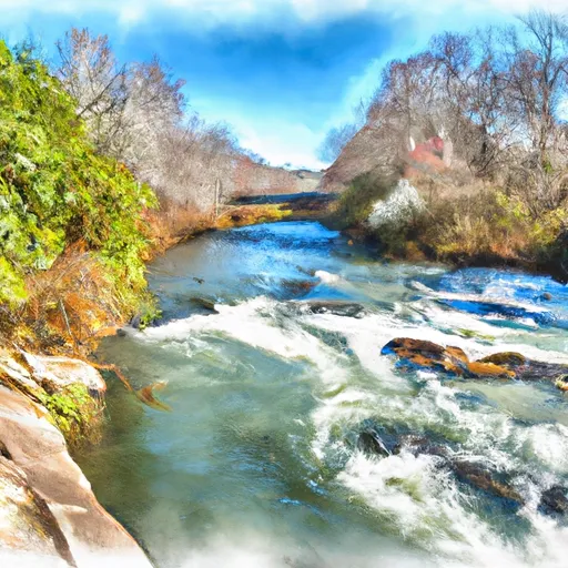
The ideal streamflow range for this segment is between 100 and 500 cubic feet per second (cfs), with 200 cfs being the optimal range. The class rating for this segment is class II-III, making it suitable for intermediate paddlers. The segment mileage is approximately 4.5 miles.
Some specific rapids and obstacles on this run include Class III rapids like "Waterslide" and "Toilet Bowl," which provide an exhilarating experience for paddlers. There are also several rock gardens and small drops that require technical maneuvering.
It is important to note that there are specific regulations in place for this area. The use of personal flotation devices (PFDs) is required for all paddlers, and alcohol is prohibited on the river. Additionally, paddlers should take care to avoid damaging the riverbanks or disturbing the wildlife in the area.
Overall, the Steven's Creek Crossing run is a challenging yet rewarding experience for intermediate paddlers looking for a fun and exciting whitewater adventure in South Carolina.
°F
°F
mph
Wind
%
Humidity
15-Day Weather Outlook
River Run Details
| Last Updated | 2026-02-07 |
| River Levels | 255 cfs (3.29 ft) |
| Percent of Normal | 24% |
| Status | |
| Class Level | ii-iii |
| Elevation | ft |
| Streamflow Discharge | cfs |
| Gauge Height | ft |
| Reporting Streamgage | USGS 02196000 |
5-Day Hourly Forecast Detail
Nearby Streamflow Levels
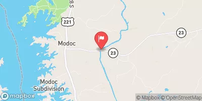 Stevens Creek Near Modoc
|
146cfs |
 Augusta Canal Nr Augusta (Upper)
|
1800cfs |
 Butler Creek Below 7th Avenue
|
24cfs |
 Spirit Creek At Us 1
|
22cfs |
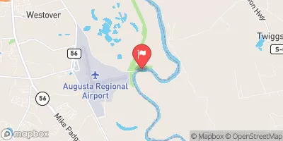 Savannah River At Augusta
|
5080cfs |
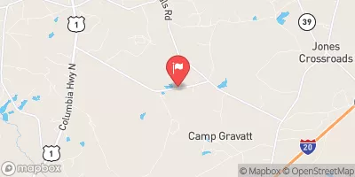 Mctier Creek (Rd 209) Near Monetta
|
15cfs |


 Modoc - Strom Thurmond Lake
 Hamilton Branch State Park
 Bussey Point Wilderness Area
 Ridge Road - Strom Thurmond Lake
 Petersburg - Strom Thurmond Lake
 Lick Fork Lake Recreation Area
 Saint John's Road, Clarks Hill
 Steven'S Creek Crossing Sc Highway 21 To Steven'S Creek Crossing Sc Highway 88
 Turkey Creek And Sc Highway 35 To Confluence With Stevens Creek