Summary
The ideal streamflow range for this particular section of the river, which runs from the headwaters just east of Hwy 107 to the crossing of Norton Field Road (FS 715A), is between 150 and 250 cubic feet per second (cfs).
The class rating of this section of the river is Class II-III, with rapids such as "The Ledges," "The Narrows," and "The Bump." There are also several obstacles to be aware of, including trees, rocks, and strainers. It is important for kayakers and rafters to have experience with Class II-III rapids and to always wear a personal flotation device.
The segment mileage for this section of the river is approximately 6.5 miles, making for an exciting day trip. It is important to note that there are specific regulations to the area, including a prohibition on alcohol and a limit of two vehicles per group at the put-in location. The river is also closed during the winter months to protect wildlife habitat.
°F
°F
mph
Wind
%
Humidity
15-Day Weather Outlook
River Run Details
| Last Updated | 2026-02-07 |
| River Levels | 408 cfs (1.57 ft) |
| Percent of Normal | 34% |
| Status | |
| Class Level | ii-iii |
| Elevation | ft |
| Streamflow Discharge | cfs |
| Gauge Height | ft |
| Reporting Streamgage | USGS 02177000 |
5-Day Hourly Forecast Detail
Nearby Streamflow Levels
 Chattooga River Near Clayton
|
335cfs |
 Twelvemile Creek Near Liberty
|
78cfs |
 Tallulah River Ab Powerhouse
|
46cfs |
 French Broad River At Rosman
|
113cfs |
 Little Tennessee River Near Prentiss
|
245cfs |
 Tallulah River Near Clayton
|
118cfs |
Area Campgrounds
| Location | Reservations | Toilets |
|---|---|---|
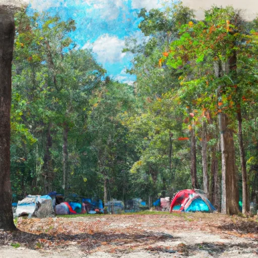 Oconee State Park
|
||
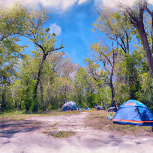 Cherry Hill Recreation Area
|
||
 Sandy Beach Campsite
|
||
 Burrells Ford
|
||
 Long Bottom Ford
|
||
 Devils Fork State Park
|
River Runs
-
 Headwaters Just East Of Hwy 107 To Crossing Of Norton Field Road (Fs 715A)
-
 Beginning Just Upstream Of Townes Creek,Wash Branch And Crane Creek To Confluence With Kings Creek
-
 Highway 28 to Earl's Ford (Section 2)
-
 Burrels Ford to Lick Log Branch (Section 1)
-
 Sloan'S Bridge Crossing To 1/4 Mile Above The Walhalla Fish Hatchery
-
 1/4 Mile Above The Walhalla Fish Hatchery To 1/4 Mile Below The Walhalla Fish Hatchery


 Devils Fork Road Oconee County
 Wilderness Ellicott Rock
 Devils Fork State Park
 Toxaway Game Land
 Keowee-Toxaway State Park