Summary
The ideal streamflow range for this section of the river is between 200-500 cfs, which provides enough water to navigate the rapids without being too high and dangerous.
The class rating for this section of the Whitewater River varies between Class II and Class IV depending on the water level and the specific rapids. The segment mileage for this run is approximately 8.5 miles, starting just upstream of Townes Creek and ending at the confluence with Kings Creek.
Some of the notable rapids and obstacles on this section of the Whitewater River include "Jump Start," "Rodeo Hole," and "Gorilla," which is a Class IV rapid that requires expert skills to navigate safely.
There are specific regulations that paddlers must follow when navigating this section of the Whitewater River. For example, paddlers must wear personal flotation devices at all times, and no alcohol or drugs are allowed on the river. Additionally, paddlers must respect private property and avoid trespassing.
Sources for this information include American Whitewater and the South Carolina Department of Natural Resources. Overall, the Whitewater River run beginning just upstream of Townes Creek, Wash Branch, and Crane Creek to the confluence with Kings Creek is a challenging and exciting adventure for experienced paddlers.
°F
°F
mph
Wind
%
Humidity
15-Day Weather Outlook
River Run Details
| Last Updated | 2026-02-07 |
| River Levels | 408 cfs (1.57 ft) |
| Percent of Normal | 34% |
| Status | |
| Class Level | ii-iv |
| Elevation | ft |
| Streamflow Discharge | cfs |
| Gauge Height | ft |
| Reporting Streamgage | USGS 02177000 |
5-Day Hourly Forecast Detail
Nearby Streamflow Levels
 Chattooga River Near Clayton
|
390cfs |
 Twelvemile Creek Near Liberty
|
103cfs |
 French Broad River At Rosman
|
124cfs |
 Tallulah River Ab Powerhouse
|
39cfs |
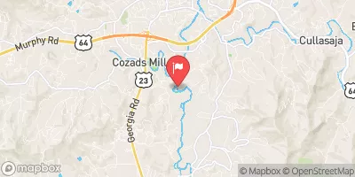 Little Tennessee River Near Prentiss
|
242cfs |
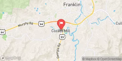 Cartoogechaye Creek Near Franklin
|
261cfs |
Area Campgrounds
| Location | Reservations | Toilets |
|---|---|---|
 Cherry Hill Recreation Area
|
||
 Sandy Beach Campsite
|
||
 Oconee State Park
|
||
 Burrells Ford
|
||
 Long Bottom Ford
|
||
 Devils Fork State Park
|
River Runs
-
 Beginning Just Upstream Of Townes Creek,Wash Branch And Crane Creek To Confluence With Kings Creek
-
 Headwaters Just East Of Hwy 107 To Crossing Of Norton Field Road (Fs 715A)
-
 Burrels Ford to Lick Log Branch (Section 1)
-
 Sloan'S Bridge Crossing To 1/4 Mile Above The Walhalla Fish Hatchery
-
 1/4 Mile Above The Walhalla Fish Hatchery To 1/4 Mile Below The Walhalla Fish Hatchery
-
 1/4 Mile Below Walhalla Fish Hatchery To Boundary Of Chattooga Wsr


 Devils Fork Road Oconee County
 Oconee State Park
 Devils Fork State Park
 Toxaway Game Land
 Keowee-Toxaway State Park