Summary
The ideal streamflow range for this run is between 1,200 and 4,000 cubic feet per second (cfs) and is rated as a Class III to Class IV river.
This segment covers a distance of approximately 13 miles and features several notable rapids and obstacles such as "Big Drop 2," "Triple Threat," and "Satan's Gut." These rapids provide a challenging and exciting experience for experienced whitewater rafters.
The area is regulated by the National Park Service and requires all visitors to obtain a permit before embarking on the river run. Additionally, all visitors are required to follow Leave No Trace principles and to respect the natural environment.
According to multiple sources, the Whitewater River Run is a must-visit destination for whitewater rafting enthusiasts looking for a thrilling experience. However, visitors must also exercise caution and follow all regulations and safety guidelines to ensure a safe and enjoyable trip.
°F
°F
mph
Wind
%
Humidity
15-Day Weather Outlook
River Run Details
| Last Updated | 2026-02-07 |
| River Levels | 24300 cfs (17.23 ft) |
| Percent of Normal | 86% |
| Status | |
| Class Level | iii-iv |
| Elevation | ft |
| Run Length | 45.0 Mi |
| Streamflow Discharge | cfs |
| Gauge Height | ft |
| Reporting Streamgage | USGS 09185600 |
5-Day Hourly Forecast Detail
Nearby Streamflow Levels
Area Campgrounds
| Location | Reservations | Toilets |
|---|---|---|
 Musselman Canyon
|
||
 Airport B
|
||
 Airport A
|
||
 Lathrop Canyon
|
||
 Airport C
|
||
 Airport D
|


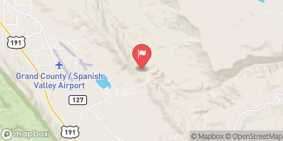
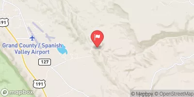
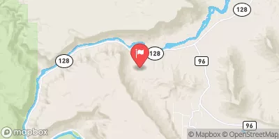
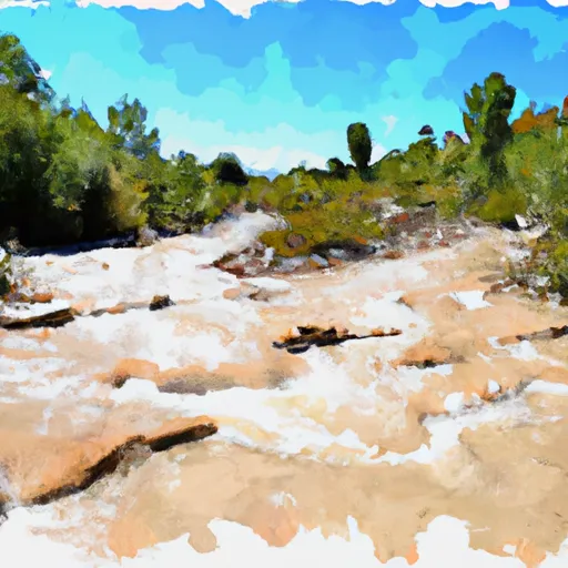 Eastern Park Boundary To Western Park Boundary
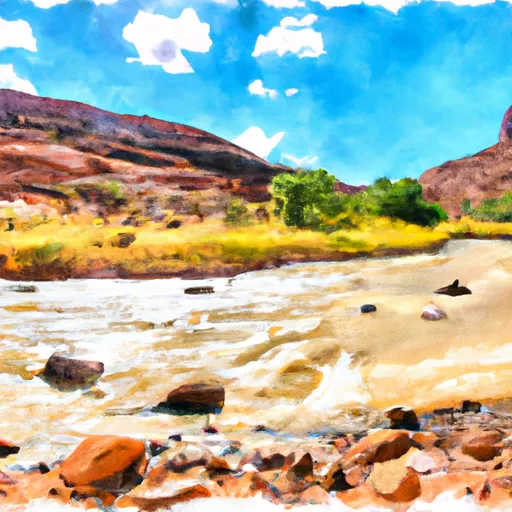 Colorado River