Summary
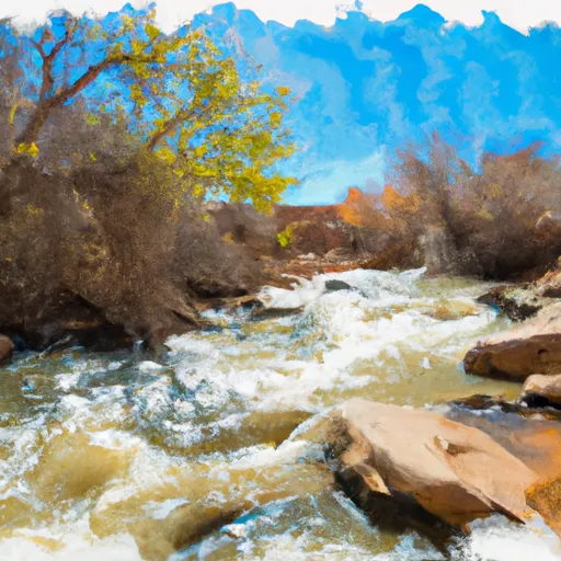
The ideal streamflow range for this run is between 300-900 cfs, but can reach up to 1,500 cfs during peak season. This run is broken down into two segments, with the first segment spanning 6 miles and containing several Class II rapids such as Schoolhouse, Castle Creek, and Rock Garden. The second segment is made up of four miles and contains more challenging Class III rapids such as Three Falls and S-Turn.
The area is regulated by the National Park Service, and all visitors are required to obtain a permit before embarking on the river run. Additionally, visitors are required to follow Leave No Trace principles and are not allowed to camp or build fires along the riverbank. It is also required that all visitors wear a personal flotation device while on the river.
Overall, the Whitewater River Run offers a thrilling experience for whitewater enthusiasts with its challenging rapids and scenic views. However, it is important to note that this run can be dangerous and should only be attempted by experienced paddlers in appropriate equipment and conditions.
°F
°F
mph
Wind
%
Humidity
15-Day Weather Outlook
River Run Details
| Last Updated | 2025-12-06 |
| River Levels | 2 cfs (1.33 ft) |
| Percent of Normal | 0% |
| Status | |
| Class Level | ii-iii |
| Elevation | ft |
| Run Length | 10.0 Mi |
| Streamflow Discharge | cfs |
| Gauge Height | ft |
| Reporting Streamgage | USGS 09378630 |


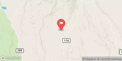
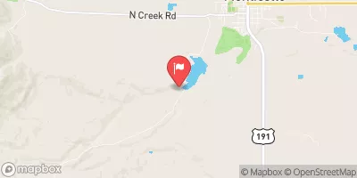
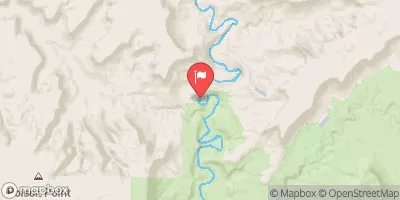
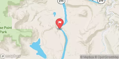
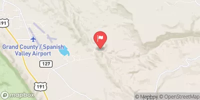
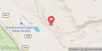
 SC1
SC1
 SC2
SC2
 SC3
SC3
 SC4
SC4
 LC3
LC3
 Lost Canyon Camp Site 2
 Southern Boundary Of Park To Ends 10 Miles Downstream From Southern Boundary Of Park
 Indian Creek