Eastern Border For Natural Bridges National Monument To Western Border Of Natural Bridges National Monument Paddle Report
Last Updated: 2026-02-07
The Whitewater River Run in Utah is a popular route that spans from the eastern border of Natural Bridges National Monument to the western border, covering a distance of approximately 8 miles.
Summary
The ideal streamflow range for this run is between 250-500 cubic feet per second (cfs), which can offer challenging rapids and obstacles for intermediate-level paddlers. The class rating for this run is typically class II-III, with a few class IV rapids thrown in along the way.
The most notable rapids and obstacles on this run include the "S-Turn" and "Upset" rapids, as well as several large boulders and rock gardens that require skill to navigate. It is important to note that this run is only accessible during the spring and early summer months, when the snowmelt runoff provides sufficient water flow.
The segment mileage for this run is approximately 8 miles, and it typically takes around 2-3 hours to complete, depending on the water flow and skill level of the paddlers. Specific regulations for the area include a permit requirement for all boaters, as well as restrictions on camping and fires along the riverbank. It is also important to follow Leave No Trace principles and respect the natural environment and wildlife in the area.
Overall, the Whitewater River Run in Utah offers a thrilling and scenic experience for intermediate-level paddlers, with challenging rapids and obstacles that require skill and experience to navigate. It is important to check the water flow and adhere to regulations to ensure a safe and enjoyable trip.
°F
°F
mph
Wind
%
Humidity
15-Day Weather Outlook
River Run Details
| Last Updated | 2026-02-07 |
| River Levels | 7940 cfs (11.81 ft) |
| Percent of Normal | 92% |
| Status | |
| Class Level | ii-iii |
| Elevation | ft |
| Run Length | 8.0 Mi |
| Streamflow Discharge | cfs |
| Gauge Height | ft |
| Reporting Streamgage | USGS 09379500 |
5-Day Hourly Forecast Detail
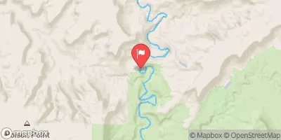
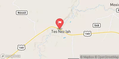
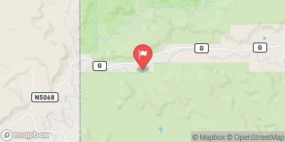
Nearby Streamflow Levels
Area Campgrounds
| Location | Reservations | Toilets |
|---|---|---|
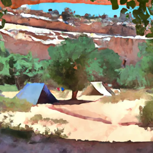 Natural Bridges Campground
|
||
 Natural Bridges
|
||
 Natural Bridges Overflow Camp
|
||
 Grand Gulch overflow campground
|


 Eastern Border For Natural Bridges National Monument To Western Border Of Natural Bridges National Monument