2026-02-18T17:00:00-07:00
* WHAT...Snow expected. Total snow accumulations between 1 to 4 inches with higher totals up to 10 inches above 7000 feet. * WHERE...South Central Utah, Upper Sevier River Valleys, and Zion National Park. * WHEN...From 8 PM this evening to 5 PM MST Wednesday. * IMPACTS...Winter driving conditions are likely. * ADDITIONAL DETAILS...Heaviest snowfall is expected between 6 AM to 11 AM, with more showery conditions continuing through the remainder of the afternoon.
Summary
The ideal streamflow range for this stretch is between 200-400 cfs, with higher flows creating more challenging rapids. This section of the river is rated as Class III-IV, with some sections reaching Class V during high flow events. The segment mileage for this run is approximately 16 miles.
There are several notable rapids and obstacles along this stretch of the river, including the technical Staircase rapid, the steep and fast Serpentine Falls, and the infamous Black Hole rapid, which is a Class V rapid that should only be attempted by expert kayakers and rafters. There are also several rocky sections and tight channels that require precise navigation.
There are specific regulations in place for this area, including a permit system for commercial river outfitters and a limit on the number of daily permits issued. Additionally, all visitors are required to adhere to Leave No Trace principles and pack out all trash and waste. Swimming is not recommended due to the fast-moving water and numerous obstacles.
Overall, the Whitewater River Run from the headwaters to the southern boundary of Zion National Park offers a thrilling and challenging experience for experienced kayakers and rafters, but should only be attempted with caution and respect for the natural environment.
°F
°F
mph
Wind
%
Humidity
15-Day Weather Outlook
River Run Details
| Last Updated | 2026-02-07 |
| River Levels | 210 cfs (8.23 ft) |
| Percent of Normal | 94% |
| Status | |
| Class Level | iii-iv |
| Elevation | ft |
| Run Length | 10.0 Mi |
| Streamflow Discharge | cfs |
| Gauge Height | ft |
| Reporting Streamgage | USGS 09406000 |
5-Day Hourly Forecast Detail
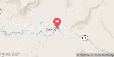
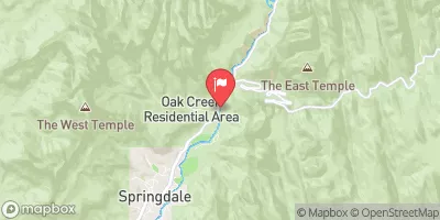
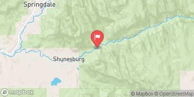
Nearby Streamflow Levels
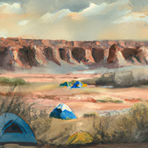
Area Campgrounds
| Location | Reservations | Toilets |
|---|---|---|
 Campgroung 3
|
||
 Campgroung 1
|
||
 Campground 4
|
||
 Scoggins Wash
|
||
 Campground 5
|
||
 Coal Pits Wash
|


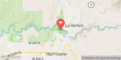
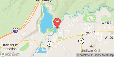
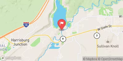
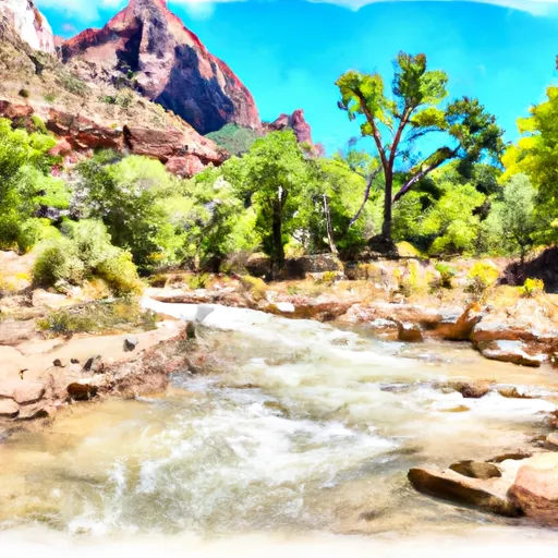 Headwaters To Southern Boundary Of Zion National Park
 Virgin River