Summary
The ideal streamflow range for this run is between 300-800 cfs. The river is classified as Class III-IV, making it suitable for intermediate to advanced paddlers. The segment mileage for this run is approximately 12 miles, starting at the Headwaters and ending one mile upstream from the western boundary of Zion National Park.
Some of the notable rapids and obstacles on this run include the "Squeeze," "Jaws," and "Narrows." The Squeeze is a narrow channel that requires precise maneuvering, while Jaws is a series of large boulders that create standing waves. The Narrows is a tight section of the river with steep canyon walls that create challenging conditions.
When planning a trip to the Whitewater River Run, it is important to be aware of the specific regulations in the area. The use of motorized boats is prohibited, and all visitors are required to obtain a permit from the Bureau of Land Management. Additionally, visitors are required to follow Leave No Trace principles and pack out all trash and waste.
Overall, the Whitewater River Run is a challenging and thrilling experience for experienced paddlers. It is important to follow all regulations and safety guidelines to ensure a safe and enjoyable trip.
River Run Details
| Last Updated | 2026-01-13 |
| River Levels | 78 cfs (4.91 ft) |
| Percent of Normal | 171% |
| Status | |
| Class Level | iii-iv |
| Elevation | ft |
| Run Length | 4.0 Mi |
| Streamflow Discharge | cfs |
| Gauge Height | ft |
| Reporting Streamgage | USGS 10242000 |
Hourly Weather Forecast
Nearby Streamflow Levels
Area Campgrounds
| Location | Reservations | Toilets |
|---|---|---|
 Lee Pass 12
|
||
 Campsite 8
|
||
 Campsite 7
|
||
 Campsite 9
|
||
 Lee Pass 1
|
||
 Campsite 1
|


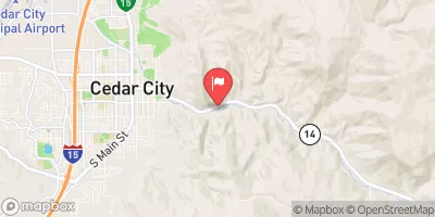
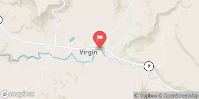
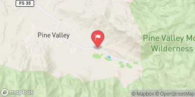
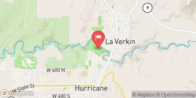
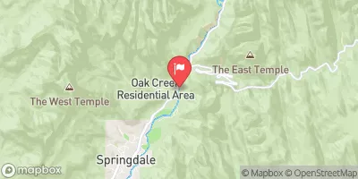
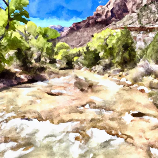 Headwaters To One Mile Upstream From The Western Boundary Of Zion National Park
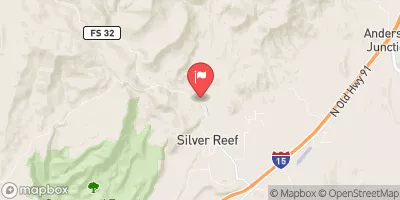
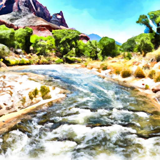 Begins One Mile Upstream From The Western Border Of Zion National Park To Western Boundary Of Zion National Park
 Revee Creek
 Unknown