Gates Of Lodore To The Southern Boundary Of Dinosaur National Monument, South Of The Split Mountain Boat Landing Paddle Report
Last Updated: 2026-02-07
The whitewater river run from the Gates of Lodore to the Southern Boundary of Dinosaur National Monument, South of the Split Mountain Boat Landing in Utah is a popular destination for rafting enthusiasts.
Summary
The ideal streamflow range for this river run is between 800-5,000 cfs, which typically occurs during the months of May through July. This stretch of river is rated as a Class III-IV, with certain rapids such as Hell's Half Mile and Triplet Falls reaching Class IV+.
This river run is approximately 44 miles long and takes about 3-5 days to complete, depending on water levels and camping options. The river is characterized by towering canyon walls, beautiful scenery, and exciting rapids. Some of the notable rapids and obstacles include Hell's Half Mile, Triplet Falls, and Blossom Bar.
There are specific regulations in place for this area, including permits that are required for all river trips. Permits are limited and must be obtained through a lottery system. Additionally, there are specific camping regulations and designated campsites along the river that must be used. All visitors must also adhere to Leave No Trace principles and pack out all trash.
Overall, the Gates of Lodore to the Southern Boundary of Dinosaur National Monument river run is a thrilling and scenic adventure for experienced rafters. It is important to check current water levels and obtain necessary permits before embarking on this journey.
°F
°F
mph
Wind
%
Humidity
15-Day Weather Outlook
River Run Details
| Last Updated | 2026-02-07 |
| River Levels | 17300 cfs (8.78 ft) |
| Percent of Normal | 54% |
| Status | |
| Class Level | iii-iv |
| Elevation | ft |
| Run Length | 39.0 Mi |
| Streamflow Discharge | cfs |
| Gauge Height | ft |
| Reporting Streamgage | USGS 09261000 |
5-Day Hourly Forecast Detail
Nearby Streamflow Levels
 Green River Near Jensen
|
1430cfs |
 Yampa River At Deerlodge Park
|
384cfs |
 Little Snake River Near Lily
|
86cfs |
 Big Brush Creek Abv Red Fleet Res
|
8cfs |
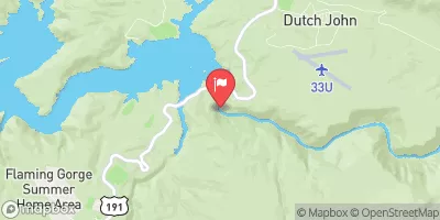 Green River Near Greendale
|
841cfs |
 Ashley Cr Abv Sp Nr Vernal Ut
|
4cfs |
Area Campgrounds
| Location | Reservations | Toilets |
|---|---|---|
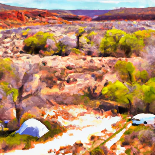 Wade and Curtis River Camp
|
||
 Pot Creek 1
|
||
 Pot Creek 2
|
||
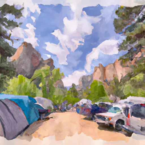 Gates of Lodore Campground
|
||
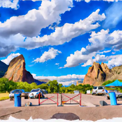 Gates of Lodore - Dinosaur National Monument
|
||
 Triplet River Camp
|


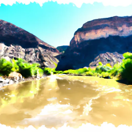 Gates Of Lodore To The Southern Boundary Of Dinosaur National Monument, South Of The Split Mountain Boat Landing
 Lodore to Echo Park
 Whirlpool Canyon - Echo Park to Rainbow Park