Summary
The ideal streamflow range for this segment ranges from 400 to 1,000 CFS (cubic feet per second), but it can range from 200 to 3,000 CFS depending on the time of year. The class rating for this segment is class III to IV, with some sections reaching class V during high water.
The segment mileage is approximately 8.5 miles, with the run taking about 3 to 4 hours to complete. Specific river rapids and obstacles include "Jaws," "The Notch," and "The Narrows," which all require technical maneuvering skills. Additionally, there are many boulder gardens, tight turns, and steep drops throughout the run that require advanced paddling techniques.
Specific regulations to the area include a permit requirement from the Bureau of Land Management, which limits the number of daily users to protect the river and surrounding environment. Additionally, the use of alcohol and drugs is strictly prohibited, and all visitors must pack out their garbage. It is also recommended that visitors check the water levels before attempting the run, as high water can make the run dangerous and even deadly.
°F
°F
mph
Wind
%
Humidity
15-Day Weather Outlook
River Run Details
| Last Updated | 2026-02-07 |
| River Levels | 14 cfs (1.76 ft) |
| Percent of Normal | 62% |
| Status | |
| Class Level | iii-v |
| Elevation | ft |
| Streamflow Discharge | cfs |
| Gauge Height | ft |
| Reporting Streamgage | USGS 09337500 |



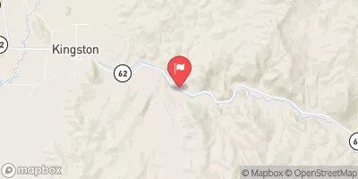
 Horse Canyon - Grand Staircase Nat Mon
 LOWER BOWNS CAMPGROUND
 Lower Bowns
 Steep Creek Bench - Burr Trail Rd - Grand Staircase Nat Mon
 UPPER PLEASANT CREEK CAMPGROUND
 Pleasant Creek
 Headwaters To Forest Road #1473
 The Gulch
 Forest Road #1473 To Nf Boundary