Summary
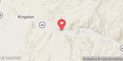
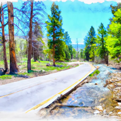
Forest Road #1473 To Nf Boundary is a segment of the river that is known for its challenging rapids and scenic beauty. The ideal streamflow range for this section of the river is between 500 and 2,000 cubic feet per second (cfs). This ensures that the rapids are challenging yet navigable.
The class rating for this section of the river is Class III-IV, which means that it is suitable for experienced paddlers with good river skills. The segment mileage of Forest Road #1473 To Nf Boundary is approximately 8 miles, which can be completed in a half-day trip.
There are several notable rapids and obstacles on this section of the river, including “Jaws,” “Pinball,” and “Big Drop.” These rapids require careful navigation and can be challenging for even experienced paddlers. It is important to note that there are specific regulations in place for this area, including requirements for personal flotation devices and safety equipment. It is also important to respect private property and follow Leave No Trace principles while on the river.
Overall, Forest Road #1473 To Nf Boundary is a thrilling and scenic whitewater run that should only be attempted by experienced paddlers. It is important to check water levels and regulations before embarking on any river trip to ensure a safe and enjoyable experience.
°F
°F
mph
Wind
%
Humidity
15-Day Weather Outlook
River Run Details
| Last Updated | 2026-02-07 |
| River Levels | 14 cfs (1.76 ft) |
| Percent of Normal | 62% |
| Status | |
| Class Level | iii-iv |
| Elevation | ft |
| Streamflow Discharge | cfs |
| Gauge Height | ft |
| Reporting Streamgage | USGS 09337500 |


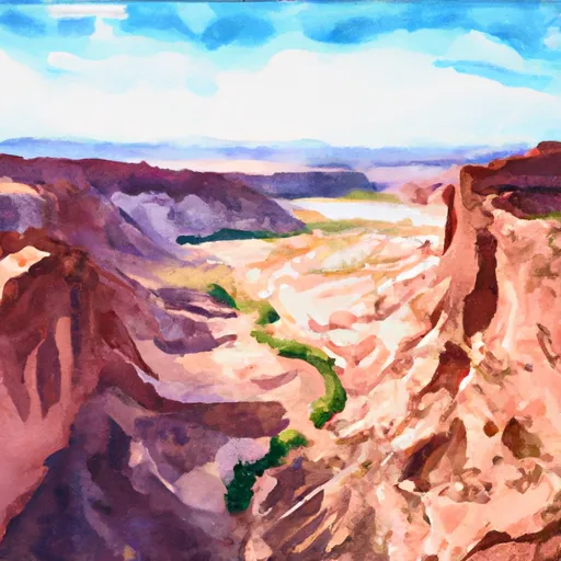 Horse Canyon - Grand Staircase Nat Mon
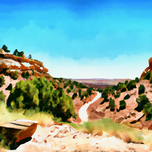 Steep Creek Bench - Burr Trail Rd - Grand Staircase Nat Mon
 LOWER BOWNS CAMPGROUND
 Lower Bowns
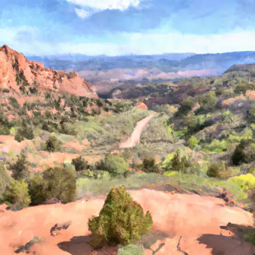 Deer Creek- Burr Trail Rd - Grand Staircase Nat Mon
 UPPER PLEASANT CREEK CAMPGROUND
 Forest Road #1473 To Nf Boundary
 The Gulch
 Headwaters To Forest Road #1473
 Headwaters To Nf Boundary