Summary
The ideal streamflow range for this section of the river is 500-1000 cfs, providing enough water for a thrilling ride without being too dangerous.
The class rating for this section of the river is Class III-IV, meaning that paddlers can expect moderate to difficult rapids with complex maneuvers required. The segment mileage is approximately 10 miles, taking about 4-5 hours to complete.
Some of the specific rapids and obstacles paddlers may encounter include Big A Drop, Slide Rapid, and Hell's Hole. These rapids offer exciting challenges for experienced paddlers. Rafters should be aware that there are several low bridges along the route that may require portaging.
Specific regulations to the area include the requirement for a permit to access the river. Additionally, all paddlers must wear a personal flotation device and helmets are strongly recommended. Camping is allowed in designated areas along the river, but campfires are not permitted.
°F
°F
mph
Wind
%
Humidity
15-Day Weather Outlook
River Run Details
| Last Updated | 2026-02-07 |
| River Levels | 317 cfs (2.3 ft) |
| Percent of Normal | 94% |
| Status | |
| Class Level | iii-iv |
| Elevation | ft |
| Streamflow Discharge | cfs |
| Gauge Height | ft |
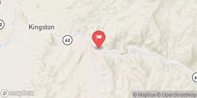
| Reporting Streamgage | USGS 10234500 |


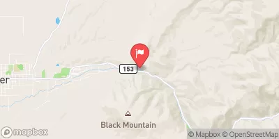
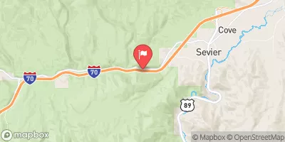
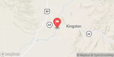
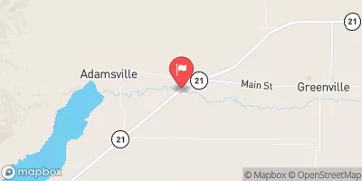
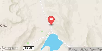
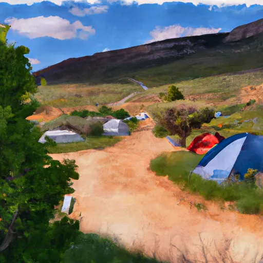 Bullion Pasture Trailhead
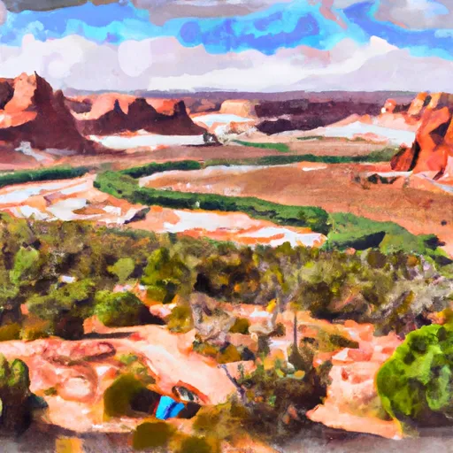 Indian Creek CUA Dispersed
 Bosman-Big John Flat Trailhead
 Big John's CUA Dispersed
 Bullion Falls Trail System
 Lake Stream Trailhead
 Headwaters To Trappers Creek
 Trappers Creek To I 70
 Marysvale Canyon
 Clear Creek