Summary
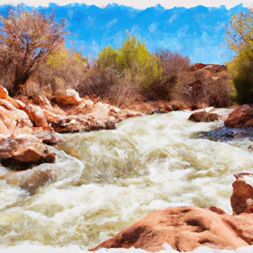
The ideal streamflow range for this segment of the river is between 200-600 cfs. The class rating for this section of the river ranges from class II to class III, providing a moderate level of difficulty for both experienced and novice paddlers.
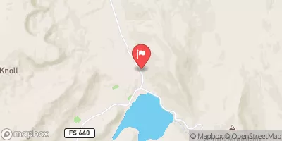
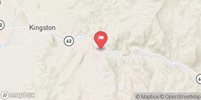
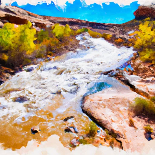
This segment of the Whitewater River Run stretches for approximately 7.5 miles, from the Highway 12 bridge to the northern boundary of the Dixie National Forest. Along the way, paddlers will encounter several challenging rapids and obstacles, including "Eye of the Needle," "Big Kahuna," and "Boulder Garden."
To ensure the safety of all paddlers and preserve the natural environment, there are specific regulations in place for this area. Paddlers must wear a properly fitted Personal Flotation Device (PFD) and helmets at all times while on the river. Additionally, camping and campfires are only allowed in designated areas, and all trash and waste must be packed out.
Overall, the Whitewater River Run 1 Mile Below Highway 12 To Nf Boundary offers a thrilling and challenging adventure for those seeking to experience the beauty and excitement of Utah's rivers. It is important for paddlers to be aware of the ideal streamflow range, class rating, segment mileage, specific river rapids/obstacles, and specific regulations in order to safely and responsibly enjoy this incredible natural resource.
°F
°F
mph
Wind
%
Humidity
15-Day Weather Outlook
River Run Details
| Last Updated | 2026-01-12 |
| River Levels | 4 cfs (1.73 ft) |
| Percent of Normal | 256% |
| Status | |
| Class Level | ii-iii |
| Elevation | ft |
| Streamflow Discharge | cfs |
| Gauge Height | ft |
| Reporting Streamgage | USGS 09337000 |
5-Day Hourly Forecast Detail
Nearby Streamflow Levels
Area Campgrounds
| Location | Reservations | Toilets |
|---|---|---|
 UPPER PLEASANT CREEK CAMPGROUND
|
||
 Pleasant Creek
|
||
 LOWER BOWNS CAMPGROUND
|
||
 Lower Bowns
|
||
 Horse Canyon - Grand Staircase Nat Mon
|
||
 Singletree
|


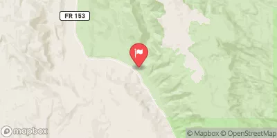

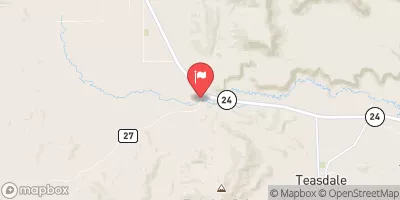
 1 Mile Below Highway 12 To Nf Boundary
 Steep Creek
 Cottonwood Canyon