Summary
The ideal streamflow range for this river run is between 200 and 600 cfs. The class rating for this river is class III-IV, which means that it is suitable for intermediate to advanced paddlers. The segment mileage for this river is approximately 8 miles.
There are several specific rapids and obstacles that paddlers can expect to encounter while navigating this river run. These include "The Narrows," which is a tight and technical section of the river, as well as "Pinball," which is a series of boulder gardens that requires precise maneuvering. Other notable rapids include "The Squeeze," "Hell Hole," and "Garfield Falls."
It is important to note that Crystal Creek is located on private property, and the landowners have specific regulations in place for accessing and using the river. Paddlers must obtain a permit before accessing the river, and there are restrictions on camping and parking in the area. Additionally, the landowners may close the river to paddling during times of high water or other hazardous conditions.
°F
°F
mph
Wind
%
Humidity
15-Day Weather Outlook
River Run Details
| Last Updated | 2025-06-28 |
| River Levels | 184 cfs (8.35 ft) |
| Percent of Normal | 50% |
| Status | |
| Class Level | iii-iv |
| Elevation | ft |
| Streamflow Discharge | cfs |
| Gauge Height | ft |
| Reporting Streamgage | USGS 09405500 |
5-Day Hourly Forecast Detail
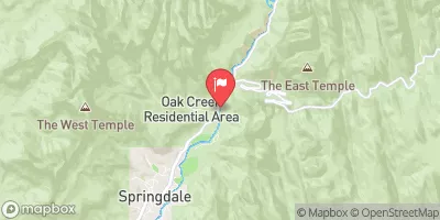
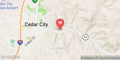
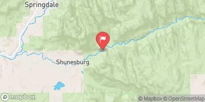
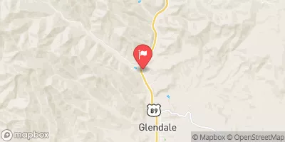
Nearby Streamflow Levels
Area Campgrounds
| Location | Reservations | Toilets |
|---|---|---|
 Ringtail
|
||
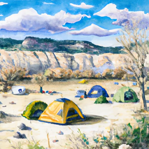 Boulder Camp
|
||
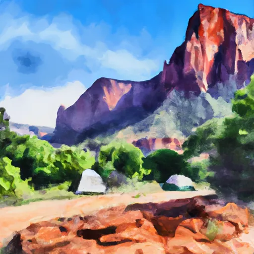 Lava Point - Zion National Park
|
||
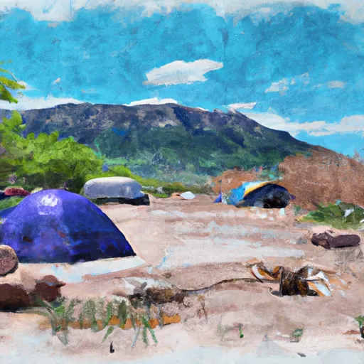 Lava Point Campgound
|
||
 Alcove
|
||
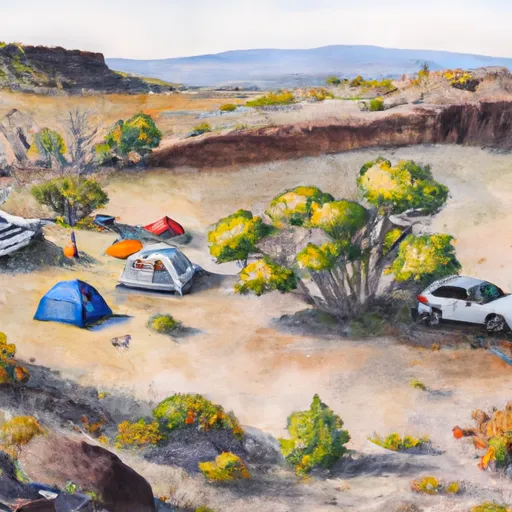 Lava Point Site 2
|


 Crystal Creek
 Deep Creek
 Deep Creek Wilderness
 Goose Creek Wilderness
 LaVerkin Creek Wilderness
 Red Butte Wilderness