Summary
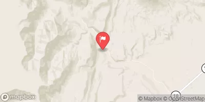
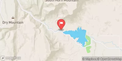
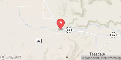
The ideal streamflow range for Muddy Creek is between 150 and 300 cubic feet per second (cfs). The segment of the river begins at the San Rafael Swell and flows for 14.5 miles until it reaches the San Rafael River. The class rating for Muddy Creek is Class III-IV, with the rapids and obstacles becoming more challenging as the water level rises.
Some of the specific rapids and obstacles on Muddy Creek include Max's Drop, a steep 8-foot waterfall with a tight chute on the right side and a boof on the left, and The Ledges, a series of technical drops with tight slots that require precise navigation.
There are specific regulations to the Muddy Creek area that visitors should be aware of. The river runs through the Muddy Creek Wilderness Study Area, which means that motorized vehicles are not allowed in the area. The BLM also requires visitors to obtain a permit before camping in the area, as well as pack out all trash and human waste.
In conclusion, Muddy Creek offers a challenging and scenic river run for experienced kayakers and rafters. With a class rating of III-IV and a specific ideal streamflow range, visitors can expect technical rapids and obstacles. It is important to be aware of the specific regulations in the area, including obtaining a permit and packing out all trash and human waste.
°F
°F
mph
Wind
%
Humidity
15-Day Weather Outlook
River Run Details
| Last Updated | 2025-06-28 |
| River Levels | 217 cfs (5.26 ft) |
| Percent of Normal | 61% |
| Status | |
| Class Level | iii-iv |
| Elevation | ft |
| Streamflow Discharge | cfs |
| Gauge Height | ft |
| Reporting Streamgage | USGS 09330500 |



 Muddy Creek