Summary
The ideal streamflow range for the river is between 150 and 800 cubic feet per second (cfs), with the best conditions occurring in the spring. The river is rated as a Class III, with some sections reaching a Class IV rating, making it a suitable destination for intermediate to advanced paddlers. The river covers a total of 16 miles, with the most popular segment running from the town of Virgin to the entrance of Zion National Park, covering around 9 miles.
The river is known for its challenging rapids, including the Subway and Pine Creek sections, both of which are considered some of the most difficult rapids in the area. Pine Creek is especially challenging, with steep drops and tight turns requiring significant skill and experience to navigate. Other notable rapids include the Black Hole and Behunin Canyon sections, which are known for their beautiful scenery.
There are several regulations in place to ensure the safety of paddlers on the Virgin River. All paddlers are required to wear a personal flotation device (PFD) at all times, and helmets are recommended. Additionally, there are restrictions on the use of motorized boats, and all paddlers must adhere to Leave No Trace principles to preserve the natural beauty of the area.
Overall, the Virgin River offers a challenging and rewarding whitewater experience for paddlers of all levels. However, it should only be attempted by experienced paddlers with the appropriate equipment and training.
°F
°F
mph
Wind
%
Humidity
15-Day Weather Outlook
River Run Details
| Last Updated | 2025-06-28 |
| River Levels | 142 cfs (7.25 ft) |
| Percent of Normal | 78% |
| Status | |
| Class Level | iii-iv |
| Elevation | ft |
| Streamflow Discharge | cfs |
| Gauge Height | ft |
| Reporting Streamgage | USGS 09408135 |
5-Day Hourly Forecast Detail
Nearby Streamflow Levels
Area Campgrounds
| Location | Reservations | Toilets |
|---|---|---|
 Sand Cove Primitive Camping Area
|
||
 Quail Creek State Park
|
||
 Red Cliffs Campground
|
||
 Red Cliffs
|
||
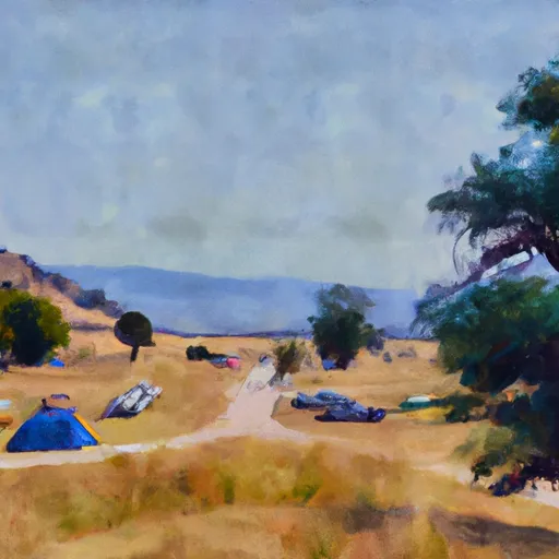 Washington County Regional Park
|
||
 Oak Grove Road Campsite
|


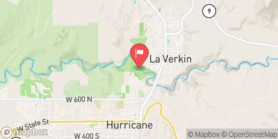
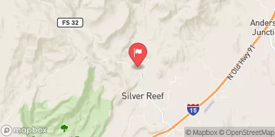


 Virgin River
 Wilderness Cottonwood Forest
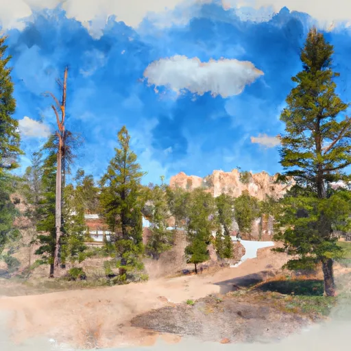 Dixie National Forest
 Sand Hollow State Park
 Blackridge Wilderness
 Wilderness Pine Valley Mountain