Summary
The ideal streamflow range for this river run is between 100-200 cfs, which typically occurs during the spring melt or after heavy rainfall. The Paria River is rated as a Class II-III river, making it suitable for intermediate-level paddlers. The river run spans approximately 38 miles, with the most popular segment being the 18-mile stretch from the White House Trailhead to Lee's Ferry.
The Paria River features several notable rapids and obstacles, including the Badger Creek Rapid, which is a Class III rapid that requires precise navigation to avoid submerged rocks and boulders. The river also includes several technical sections with tight turns and narrow channels, such as the Paria Riffle and the Cathedral Wash.
To ensure the safety of paddlers and protect the natural environment, there are several regulations in place for the Paria River. These include obtaining a permit from the Bureau of Land Management (BLM) to access the river, adhering to strict Leave No Trace principles, and avoiding camping and fires within 300 feet of the river. Additionally, motorized watercraft are not allowed on the Paria River, and all paddlers are required to wear a personal flotation device (PFD) at all times.
°F
°F
mph
Wind
%
Humidity
15-Day Weather Outlook
River Run Details
| Last Updated | 2025-06-16 |
| River Levels | 14 cfs (8.0 ft) |
| Percent of Normal | 6% |
| Status | |
| Class Level | ii-iii |
| Elevation | ft |
| Streamflow Discharge | cfs |
| Gauge Height | ft |
| Reporting Streamgage | USGS 09381800 |
5-Day Hourly Forecast Detail
Nearby Streamflow Levels
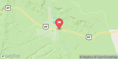 Paria River Near Kanab
|
14cfs |
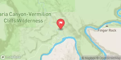 Paria River At Lees Ferry
|
15cfs |
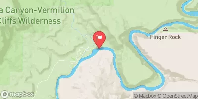 Colorado River At Lees Ferry
|
10300cfs |
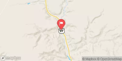 Kanab Creek Near Kanab
|
7cfs |
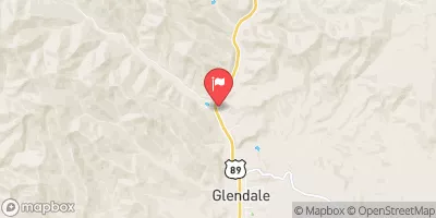 East Fork Virgin River Near Glendale
|
14cfs |
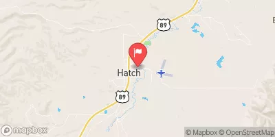 Sevier River At Hatch
|
51cfs |


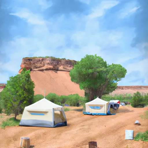 White House Campground
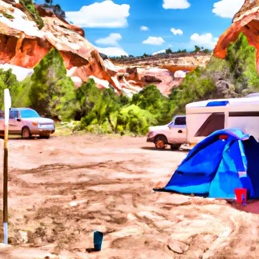 White House Trailhead - Paria Canyon - Grand Staircase Nat Mon
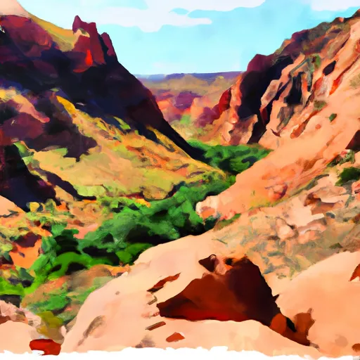 Buckskin Gulch - House Rock Valley
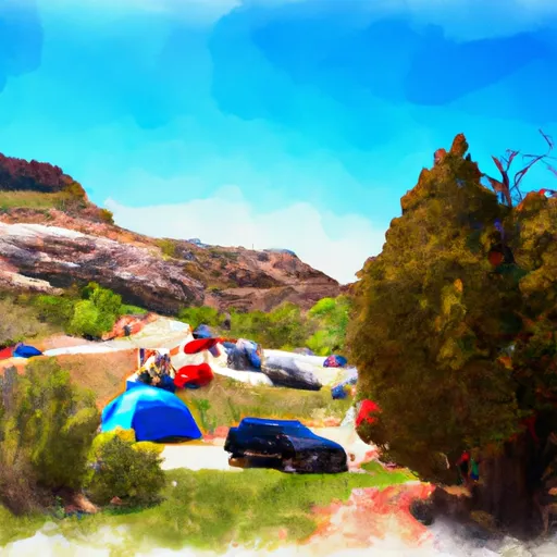 Bridger Point Camping Allowed
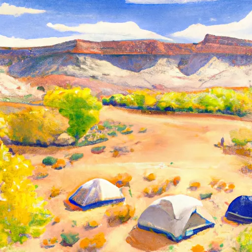 Camping Judd Hollow
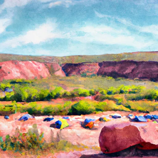 State Line - House Rock Valley
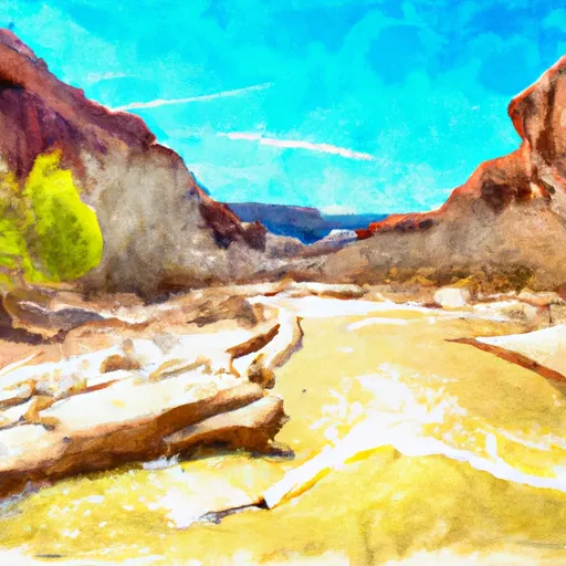 Paria River
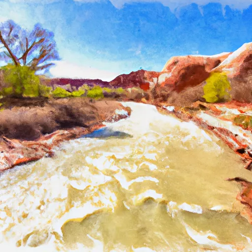 Lower Paria River