2026-02-18T17:00:00-07:00
* WHAT...Heavy snow expected. Total snow accumulations of 8 and 18 inches across much of the southern mountains with 1 to 2 feet near the Tushar and Pine Valley ranges. Locally up 3 feet near Brian Head. * WHERE...Southern Mountains. * WHEN...Until 5 PM MST Wednesday. * IMPACTS...Winter driving conditions can be expected on all mountain routes. Traction restrictions are likely.
Summary
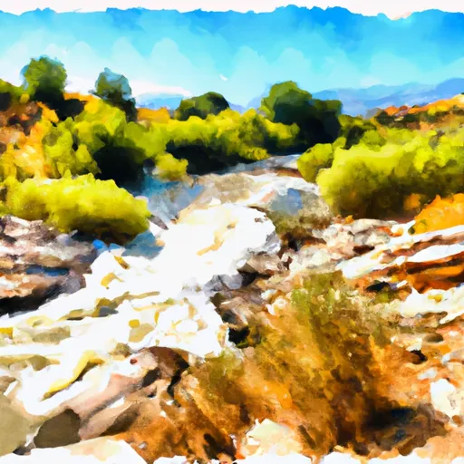
The ideal streamflow range for Deep Creek is between 200-400 cfs. The river is rated as a Class III run, which means it has moderate rapids with irregular waves and requires some maneuvering. The segment mileage of Deep Creek is around 10 miles, and it takes around 4-5 hours to complete the run.
Some of the specific rapids and obstacles on the river include Corkscrew, where the river makes a sharp turn and creates a whirlpool effect. Another rapid is called The Narrows, which is a narrow section of the river where the water flows through a rocky canyon. The rapid called Pucker Up is a steep and technical drop that requires precise maneuvering.
There are specific regulations to the area that must be followed. For example, all boaters are required to wear a personal flotation device (PFD) at all times while on the river. Additionally, there are restrictions on camping and fires in the area, and boaters are required to pack out all trash and waste.
Overall, Deep Creek is a challenging and exciting whitewater river run in Utah that offers stunning natural scenery and thrilling rapids. It is important to follow all regulations and safety guidelines to ensure a safe and enjoyable experience.
°F
°F
mph
Wind
%
Humidity
15-Day Weather Outlook
River Run Details
| Last Updated | 2025-06-28 |
| River Levels | 184 cfs (8.35 ft) |
| Percent of Normal | 50% |
| Status | |
| Class Level | iii |
| Elevation | ft |
| Streamflow Discharge | cfs |
| Gauge Height | ft |
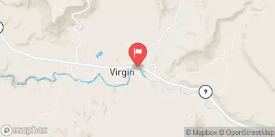
| Reporting Streamgage | USGS 09405500 |
5-Day Hourly Forecast Detail
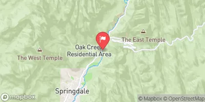
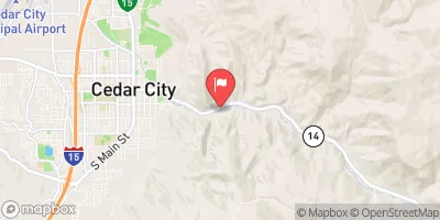
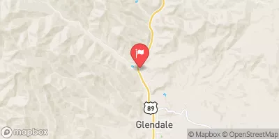
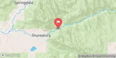
Nearby Streamflow Levels
Area Campgrounds
| Location | Reservations | Toilets |
|---|---|---|
 Ringtail
|
||
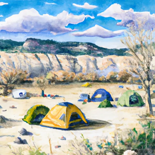 Boulder Camp
|
||
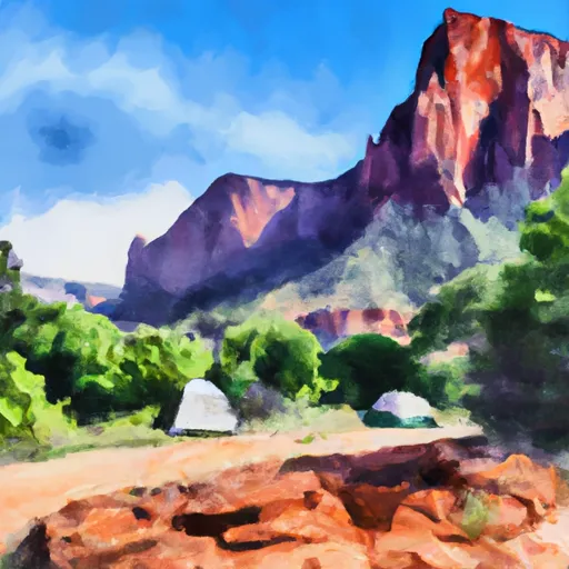 Lava Point - Zion National Park
|
||
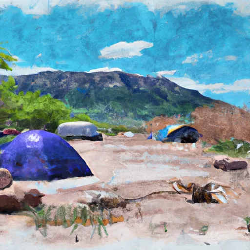 Lava Point Campgound
|
||
 Alcove
|
||
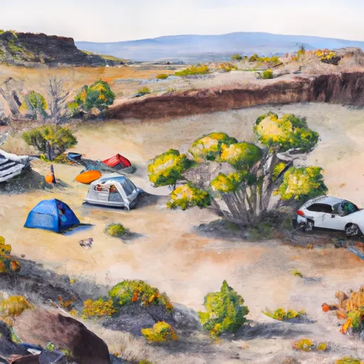 Lava Point Site 2
|


 Deep Creek
 Deep Creek Wilderness
 Goose Creek Wilderness
 LaVerkin Creek Wilderness
 Wilderness Ashdown Gorge
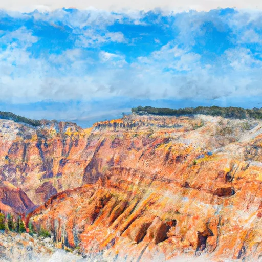 Cedar Breaks National Monument