Summary
The Whitewater River Run Harris Wash, located in the state of Utah, is a popular destination for kayakers and rafters. The ideal streamflow range for this river run is between 100 and 500 cubic feet per second (cfs). This streamflow range ensures that the rapids are challenging but not too dangerous for experienced paddlers.
The class rating for the Whitewater River Run Harris Wash ranges from Class II to Class IV, depending on the specific segment of the river. The total segment mileage for this river run is approximately 10 miles, with plenty of rapids and obstacles throughout.
Some of the specific rapids and obstacles on this river run include the "Showerhead" rapid, the "Boulder Garden" rapid, and the "S-Turn" rapid. These rapids provide a thrilling challenge for experienced paddlers.
There are specific regulations to the area that paddlers must follow, including obtaining a permit from the Bureau of Land Management (BLM) and following Leave No Trace principles to ensure that the area remains pristine for future visitors. Additionally, paddlers should be aware of the potential for flash floods in the area and monitor weather conditions before embarking on their river run.
°F
°F
mph
Wind
%
Humidity
15-Day Weather Outlook
River Run Details
| Last Updated | 2025-06-28 |
| River Levels | 14 cfs (1.76 ft) |
| Percent of Normal | 5% |
| Status | |
| Class Level | ii-iv |
| Elevation | ft |
| Streamflow Discharge | cfs |
| Gauge Height | ft |
| Reporting Streamgage | USGS 09337500 |


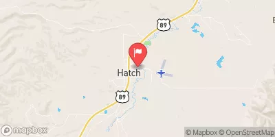
 Little Spencer Flat Dispersed - Grand Staircase Nat Mon
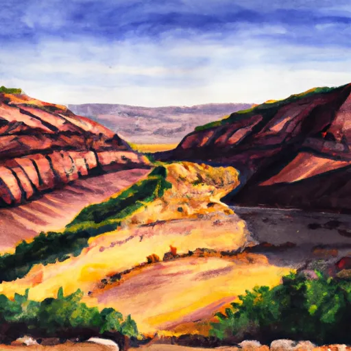 Harris Wash - Grand Staircase Nat Mon
 Hole in the Rock - Grand Staircase Nat Mon
 Calf Creek
 Calf Creek Recreation Area
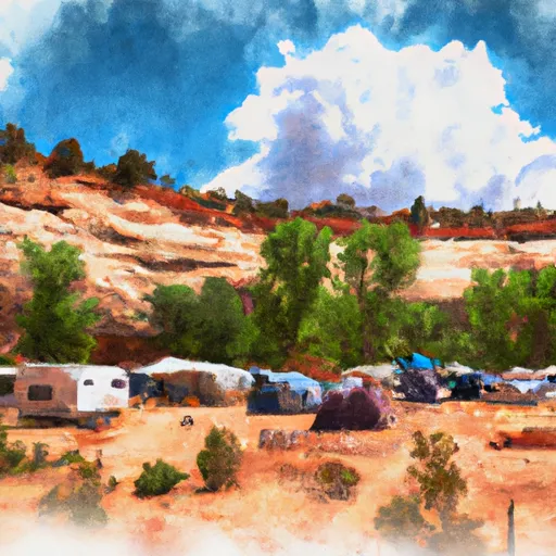 Escalante Outfitters Campground
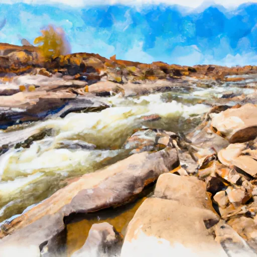 Harris Wash