Summary
The ideal streamflow range for this section of the river is between 200 and 600 cfs, as reported by the American Whitewater organization. This provides for a challenging but manageable experience for experienced paddlers.
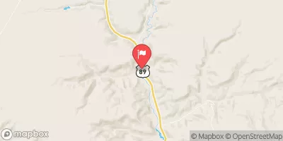
The segment mileage for Deer Creek Canyon is approximately 2.5 miles long, with a class rating of III-IV. This means that the rapids and obstacles in this section of the river can be technical and demanding, requiring precise maneuvering and advanced paddling skills. Specific rapids and obstacles in the canyon include Double Drop, Pinball, and S-Turn.
It is important to note that Deer Creek Canyon is located on private property, so paddlers must obtain permission before accessing the river. Additionally, the use of alcohol and drugs is prohibited on the river, and all users must adhere to Leave No Trace principles to protect the natural environment.
In summary, Deer Creek Canyon offers a challenging and technical whitewater experience for experienced paddlers, with a recommended streamflow range of 200-600 cfs. Paddlers must obtain permission before accessing the river and adhere to specific regulations to protect the natural environment.
°F
°F
mph
Wind
%
Humidity
15-Day Weather Outlook
River Run Details
| Last Updated | 2025-06-16 |
| River Levels | 14 cfs (8.0 ft) |
| Percent of Normal | 6% |
| Status | |
| Class Level | None |
| Elevation | ft |
| Streamflow Discharge | cfs |
| Gauge Height | ft |
| Reporting Streamgage | USGS 09381800 |



 Campiing Hogeye Creek
 Hackberry Camping
 Rock Springs Bench Dispersed - Grand Staircase Nat Mon
 Riggs Spring Group Site
 Riggs Spring Group
 Riggs Spring Campsite
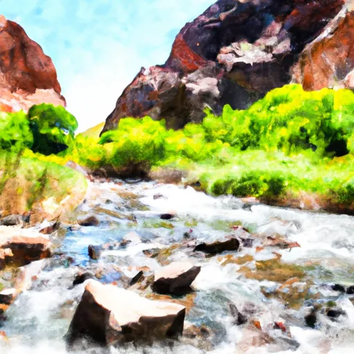 Deer Creek Canyon
 Paria River
 Sheep Creek
 Hogeye Creek