2026-02-18T17:00:00-07:00
* WHAT...Snow expected. Total snow accumulations between 1 to 4 inches with higher totals up to 10 inches above 7000 feet. * WHERE...South Central Utah, Upper Sevier River Valleys, and Zion National Park. * WHEN...From 8 PM this evening to 5 PM MST Wednesday. * IMPACTS...Winter driving conditions are likely.
Summary
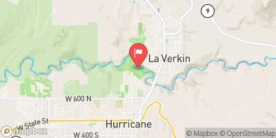
The ideal streamflow range for this river is between 200-500 cfs. At this range, it provides Class III+ to IV+ rapids. The segment mileage of the run spans a distance of 9 miles from the Kolob Terrace Road to the La Verkin Creek confluence with the Virgin River.
The whitewater rapids on this river run are intense and challenging, with steep drops, tight turns, and technical sections. Some of the most notable rapids on the La Verkin Creek include "The Grateful Dead," "Showerhead," "Squeeze," and "The Gauntlet." The river also features some obstacles like trees, boulders, and logs that require skillful maneuvering.
It is important to note that the La Verkin Creek Whitewater River Run is within the Zion National Park boundaries and thus has special regulations. All boaters must obtain a permit and follow the park's rules and regulations. Additionally, the park does not allow overnight camping on the riverbank, and visitors must pack out all trash and waste.
Overall, the La Verkin Creek Whitewater River Run offers a thrilling and challenging experience for experienced kayakers and rafters. It is important to check the streamflow levels and follow all regulations to ensure a safe and enjoyable trip.
°F
°F
mph
Wind
%
Humidity
15-Day Weather Outlook
River Run Details
| Last Updated | 2025-06-28 |
| River Levels | 91 cfs (11.19 ft) |
| Percent of Normal | 87% |
| Status | |
| Class Level | iii+ |
| Elevation | ft |
| Streamflow Discharge | cfs |
| Gauge Height | ft |
| Reporting Streamgage | USGS 09406100 |
5-Day Hourly Forecast Detail
Nearby Streamflow Levels
Area Campgrounds
| Location | Reservations | Toilets |
|---|---|---|
 Camping spot
|
||
 Sand Cove Primitive Camping Area
|
||
 BLM Campground
|
||
 BLM Dispersed Camping
|
||
 Oak Grove Road Campsite
|
||
 Red Cliffs
|


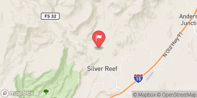
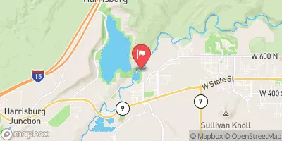
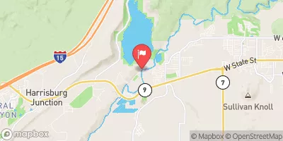
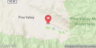
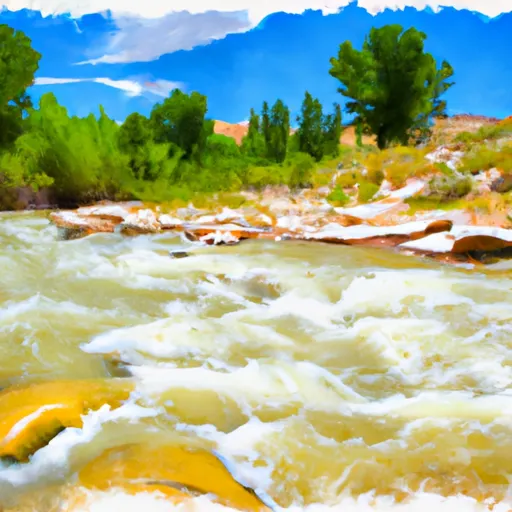 La Verkin Creek
 Quail Creek State Park
 Wilderness Cottonwood Forest
 Dixie National Forest
 Red Butte Wilderness
 Sand Hollow State Park