Summary
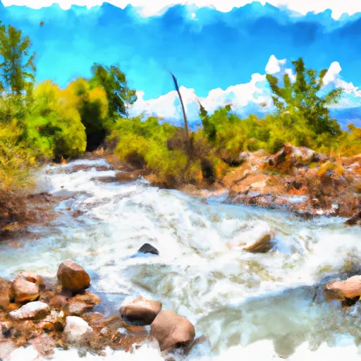
The ideal streamflow range for this river is between 300-700 cubic feet per second (cfs), which typically occurs in the spring and early summer. This section of the river is approximately 6 miles long, with several rapids and obstacles along the way, including "Double Drop," "Showerhead," and "S-Turn."
This river is managed by the Bureau of Land Management (BLM) and requires a permit for commercial outfitters. Additionally, there are restrictions on the number of people allowed in a group and the use of motorized boats.
It is important to note that Evacuation Creek is not recommended for beginners or inexperienced paddlers due to its technical rapids and obstacles. It is recommended that paddlers have intermediate to advanced whitewater experience before attempting this river.
Overall, Evacuation Creek provides a challenging and exciting whitewater experience for experienced paddlers within the ideal streamflow range and under the appropriate regulations and restrictions.
°F
°F
mph
Wind
%
Humidity
15-Day Weather Outlook
River Run Details
| Last Updated | 2025-06-28 |
| River Levels | 2570 cfs (5.33 ft) |
| Percent of Normal | 28% |
| Status | |
| Class Level | iii-iv |
| Elevation | ft |
| Streamflow Discharge | cfs |
| Gauge Height | ft |
| Reporting Streamgage | USGS 09306500 |
5-Day Hourly Forecast Detail
Nearby Streamflow Levels
 White River Near Watson
|
164cfs |
 Green River Near Jensen
|
1430cfs |
 White River Below Boise Creek
|
299cfs |
 Corral Gulch Near Rangely
|
0cfs |
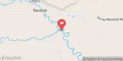 Duchesne River Near Randlett
|
85cfs |
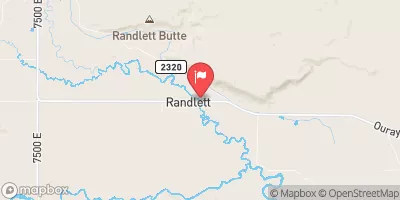 Uinta River At Randlett
|
12cfs |


 Evacuation Creek
 White River