2026-02-18T17:00:00-07:00
* WHAT...Snow expected. Total snow accumulations between 1 to 4 inches with higher totals up to 10 inches above 7000 feet. * WHERE...South Central Utah, Upper Sevier River Valleys, and Zion National Park. * WHEN...From 8 PM this evening to 5 PM MST Wednesday. * IMPACTS...Winter driving conditions are likely.
Summary
The ideal streamflow range for this section of the river is between 50 and 150 cubic feet per second (cfs), with the optimal time to paddle being late spring and early summer.
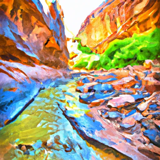
The class rating of the run is a Class III, with several technical rapids and obstacles. The most notable rapids in Neon Canyon include the "Cave Rapid" and "Lil' Red Slot Rapid," which feature tight turns and steep drops. The canyon also includes several sections of narrow slot canyons that require maneuvering and portaging around obstacles.
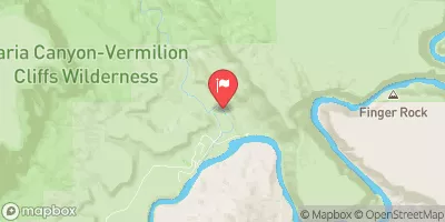
The segment mileage for Neon Canyon is approximately 14 miles, with an estimated paddling time of 4-6 hours. It is important to note that this run requires a 6-mile hike to access the put-in, making it a somewhat strenuous and remote experience.
In terms of regulations, Neon Canyon is located within the Grand Staircase-Escalante National Monument and requires a permit for overnight camping. Additionally, visitors should practice Leave No Trace principles and avoid damaging the delicate ecosystem of the canyon.
Overall, Neon Canyon offers a unique and challenging river run for experienced paddlers seeking adventure in a remote and scenic location.
°F
°F
mph
Wind
%
Humidity
15-Day Weather Outlook
River Run Details
| Last Updated | 2025-06-28 |
| River Levels | 14 cfs (1.76 ft) |
| Percent of Normal | 5% |
| Status | |
| Class Level | iii |
| Elevation | ft |
| Streamflow Discharge | cfs |
| Gauge Height | ft |
| Reporting Streamgage | USGS 09337500 |


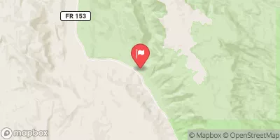
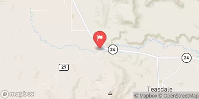
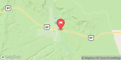
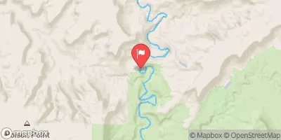
 Neon Canyon
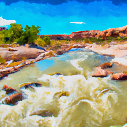 Escalante River