Summary
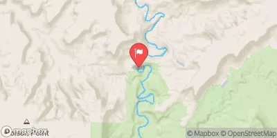
Lower Deer Creek is a popular whitewater river run located in the state of Utah. The ideal streamflow range for this section is between 500 and 1,500 cubic feet per second (cfs). The class rating for this run is a class II-III, which means that it is suitable for intermediate paddlers. This section of the river is approximately 6.5 miles long and features several exciting rapids and obstacles, including "Boulder Drop" and "Little Niagara."
Boulder Drop is a class III rapid located towards the beginning of the run. It features a large boulder that creates a powerful hydraulic, which can be challenging to navigate. Little Niagara is another class III rapid that features a steep drop and can be difficult to navigate at higher flows. Other notable obstacles include "Pinball," "The Waves," and "The Slide."
There are specific regulations in place for this area to help protect the river and surrounding ecosystem. Paddlers must obtain a permit from the Forest Service and adhere to strict guidelines to prevent damage to the riparian habitat. Additionally, motorized watercraft are not allowed on this section of the river.
°F
°F
mph
Wind
%
Humidity
15-Day Weather Outlook
River Run Details
| Last Updated | 2025-06-28 |
| River Levels | 14 cfs (1.76 ft) |
| Percent of Normal | 5% |
| Status | |
| Class Level | ii-iii |
| Elevation | ft |
| Streamflow Discharge | cfs |
| Gauge Height | ft |
| Reporting Streamgage | USGS 09337500 |


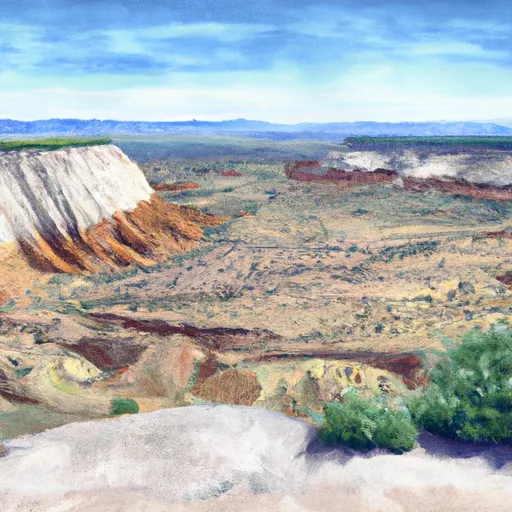 Durffey Mesa Dispersed - Burr Trail Rd - Grand Staircase Nat Mon
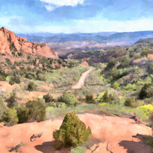 Deer Creek- Burr Trail Rd - Grand Staircase Nat Mon
 Calf Creek Recreation Area
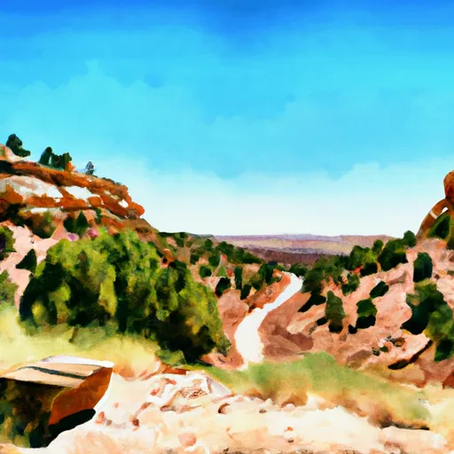 Steep Creek Bench - Burr Trail Rd - Grand Staircase Nat Mon
 Calf Creek
 Little Spencer Flat Dispersed - Grand Staircase Nat Mon
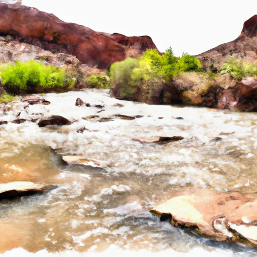 Lower Deer Creek
 Lower Boulder Creek
 The Gulch
 Blackwater Canyon