Summary
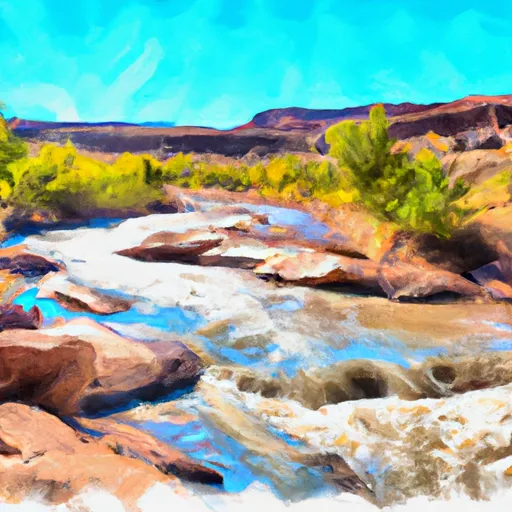
The ideal streamflow range for this river is between 150-600 cfs. The segment mileage for this river is around 9 miles, with rapids ranging from Class II-IV. The river offers a variety of rapids and obstacles, including the "Corner Pocket," "Twin Peaks," and "The Dam." These rapids offer a fun and exciting challenge for experienced whitewater rafters.
However, it is important to note that Beaver Creek is a regulated area, and certain regulations must be followed. For example, the use of motorized vehicles is prohibited in the area, and camping is only allowed in designated areas. Additionally, all visitors must obtain a permit before entering the area. These regulations are in place to protect the natural environment and ensure the safety of visitors.
In conclusion, Beaver Creek is an excellent whitewater river run in Utah, with a wide range of rapids and obstacles that offer a fun and challenging experience for experienced whitewater rafters. However, visitors must be aware of the regulations in place to protect the natural environment and ensure the safety of all visitors.
°F
°F
mph
Wind
%
Humidity
15-Day Weather Outlook
River Run Details
| Last Updated | 2025-06-28 |
| River Levels | 2820 cfs (10.85 ft) |
| Percent of Normal | 37% |
| Status | |
| Class Level | ii-iv |
| Elevation | ft |
| Streamflow Discharge | cfs |
| Gauge Height | ft |
| Reporting Streamgage | USGS 09180000 |


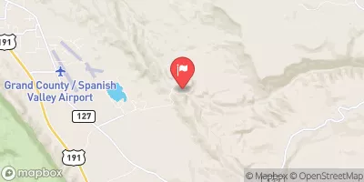
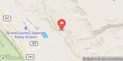
 Cowskin Camping Area
 Bull Draw, Manti La Sal NF Road Campsite
 Fisher Towers Recreation Site
 Fisher Towers Campground
 Fisher Towers
 Hittle Bottom Recreation Site
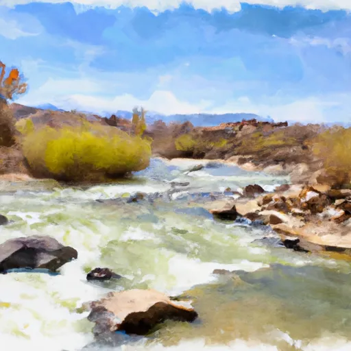 Beaver Creek
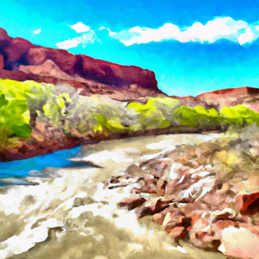 Fisher Creek, Dolores River Segment 1
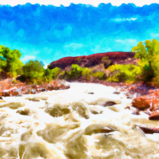 Dolores River Segment 1
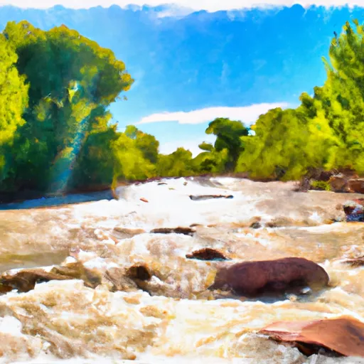 Fisher Creek
 Granite Creek, Dolores River Segment 2