
Summary
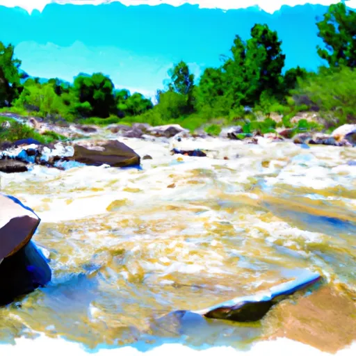
Nine Mile Creek is a popular whitewater river run located in the state of Utah. It is rated as a Class III-IV river, which means that it is suitable for intermediate to advanced paddlers. The ideal streamflow range for Nine Mile Creek is between 200 and 500 cubic feet per second (cfs). At this flow, the river is challenging but manageable, with plenty of rapids and obstacles to test the skills of even the most experienced paddlers.
The segment mileage of Nine Mile Creek is approximately 7 miles long, with a total descent of around 500 feet. The river features a variety of rapids and obstacles, including tight turns, drops, and steep gradients. Some of the most notable rapids on the river include Upper and Lower Tippy, Trestle, and Dragon's Tongue. Each of these rapids presents a unique challenge to paddlers, requiring skill and precision to navigate safely.
There are specific regulations in place for Nine Mile Creek to protect the river and the surrounding environment. For example, all paddlers must wear personal flotation devices at all times while on the river. Additionally, motorized boats are not allowed on the river, and camping is only permitted in designated areas.
Overall, Nine Mile Creek is a thrilling whitewater river run that offers an exciting challenge to intermediate and advanced paddlers. With its ideal streamflow range, class rating, segment mileage, specific river rapids/obstacles, and specific regulations to the area, it's no wonder that it is a popular destination for whitewater enthusiasts from around the world.
River Run Details
| Last Updated | 2025-06-28 |
| River Levels | 312 cfs (6.71 ft) |
| Percent of Normal | 42% |
| Status | |
| Class Level | iii-iv |
| Elevation | ft |
| Streamflow Discharge | cfs |
| Gauge Height | ft |
| Reporting Streamgage | USGS 09288180 |

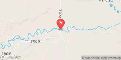
 Nine Mile Creek
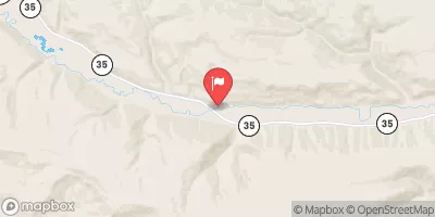