Deep Creek River Run
Community Reviews
Been here? Share the conditions.
Reviews, ratings & photos are added in the free Snoflo iOS app — rate a spot, tag the conditions, and your visit is verified by location. Add or manage your reviews from the app.
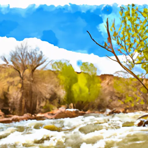
Deep Creek
The segment mileage for Deep Creek is approximately 6 miles, and it is divided into two sections. The upper section, which is around 3 miles long, features several challenging rapids such as Shoshone Falls and Double Drop. The lower section, which is approximately 3 miles long, includes rapids like Deadman's Drop and Last Chance.
Some of the major obstacles in Deep Creek include large boulders, tight turns, and steep drops, which require precise maneuvering and quick reactions. Paddlers should be aware of and avoid dangerous eddies, strainers, and undercut rocks.
There are specific regulations for Deep Creek that visitors should be aware of. For instance, all boaters must wear personal flotation devices (PFDs) at all times while on the river, and they are required to adhere to all safety guidelines and regulations. Additionally, visitors are prohibited from camping within 500 feet of the river, and they should pack out all trash and debris.
In summary, Deep Creek is a challenging river run in Utah that is best suited for experienced paddlers. It has an ideal streamflow range of 150 to 400 cfs, a class rating of III to IV, a segment mileage of approximately 6 miles, and specific regulations that visitors must follow to ensure their safety and preserve the natural environment.
Plan your run down to the hour
Same weather feed Snoflo's iOS app uses -- updated continuously from NOAA / yr.no. Watch the precipitation column on the meteogram; rain ahead of a run typically lifts flows 12-48 hours later depending on the basin.
Next 5 days, hour by hour
Temperature line with weather symbols on top, snow + rain accumulation as columns, humidity as a dotted line.
5-day forecast table
Every 3 hours, broken out across temperature, snow, rain, humidity, and wind. Each cell is colour-coded relative to the column min/max.
| Time | Condition | Temp (°F) | Snow (in) | Rain (in) | Humidity (%) | Wind (mps) | Wind dir |
|---|---|---|---|---|---|---|---|
| Loading detailed forecast… | |||||||
15-day temperature & precipitation
Daily temperatures, snow, and rain projected over the next two weeks -- the upstream story that drives next week's flows.
Regional streamflow levels
USGS streamgauges around Deep Creek -- useful for spotting upstream pulses and gauging which tributary is contributing what.
| Streamgauge | Discharge | View |
|---|---|---|
| North Fork Virgin River Near Springdale | 46 cfs | → |
| Coal Creek Near Cedar City | 10 cfs | → |
| East Fork Virgin River Near Glendale | 7 cfs | → |
| East Fork Virgin River Near Springdale | 53 cfs | → |
| Virgin River At Virgin | 68 cfs | → |
| Mammoth Creek Abv West Hatch Ditch | 17 cfs | → |
Plan a longer trip
The closest boat launches, other paddle runs, and campgrounds so a day on the water can grow into a full weekend.
Campgrounds
- Campsite 1 - Deep Creek
- Campsite 2 - River Bend
- Campsite 3 - Right Bench
- Campsite 4 - Flat Rock
- Ringtail
- Campsite 6 - Kolob Creek
Whitewater safety
- Check the flow before you run
- Use the linked-gauge card and Regional Flow panel above. Class ratings change with flow -- a Class III at low water can become Class IV+ at high water.
- Know your skill ceiling
- Pick runs comfortably below your ceiling. Cold-water and big-water runs raise the consequences of any mistake.
- Wear the right gear
- Helmet, PFD, drysuit / wetsuit when water is below 60°F. Throw bag, knife, and whistle on your person, not in the boat.
- Scout, set safety, and run with a team
- Scout new rapids on foot, set safety with throw bags above the consequence pool, and run with at least one other competent paddler.
- Respect the river
- Strainers, undercuts, low-head dams, and wood can kill at any class rating. When in doubt, portage.
Set push alerts in the Snoflo app
Save Deep Creek as a favorite, set a discharge threshold (e.g. "alert me when flow hits 600 cfs"), and the iOS app pushes the moment the linked gauge crosses.
About Deep Creek
What's the optimal flow for Deep Creek?
The optimal flow depends on the section and the craft. Check the Run Details panel for the linked gauge and current status.
How fresh is the cfs reading on this page?
The linked USGS streamgauge reports continuously (every 15 minutes); Snoflo refreshes throughout the day. Hover the streamflow sparkline to read individual datapoints.
What's the whitewater class?
See the Run Details panel for the class rating Snoflo tracks for this run. Class ratings change with flow -- a Class III at low water can become Class IV in high water.
Where do I put in / take out?
Tap Directions in the hero above to open driving directions to the put-in. For shuttle planning, check the Nearby Boat Launches panel and the river run operator's site.
Can I get alerts when flows hit the optimal range?
Yes -- alerts are managed in the Snoflo iOS app. Favorite this run, set a discharge threshold, and you'll get a push the moment the gauge crosses.
Other runs near here
Snoflo-tracked paddle runs within driving distance of Deep Creek.