
Summary
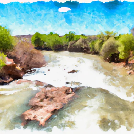
The ideal streamflow range for the Price River is between 250 and 750 cubic feet per second (cfs), depending on the segment of the river. The river is rated as a Class II-III, meaning it has moderate rapids and obstacles that require basic skills to navigate.
The Price River run is broken down into three segments, each with its own unique features. The upper segment is 4.6 miles and contains Class II rapids, including Ten Mile Slide and Devils Slide. The middle segment is 6.5 miles and contains Class III rapids, including Price Falls and Rattlesnake Canyon. The lower segment is 6 miles and contains mostly Class II rapids, with some Class III rapids near the end.
Some of the specific rapids and obstacles on the Price River run include Double Drop, which is a Class III rapid on the middle segment that requires a sharp left turn to avoid a large boulder, and the Valley of Death, which is a narrow section of the river on the lower segment that requires precise maneuvering to avoid rocks and boulders.
There are specific regulations that apply to the Price River run. All boaters are required to wear personal flotation devices (PFDs) and helmets. Additionally, there are restrictions on the use of motorized watercraft on the river.
River Run Details
| Last Updated | 2025-06-28 |
| River Levels | 72 cfs (3.55 ft) |
| Percent of Normal | 40% |
| Status | |
| Class Level | ii-iii |
| Elevation | ft |
| Streamflow Discharge | cfs |
| Gauge Height | ft |
| Reporting Streamgage | USGS 09312600 |

Weather Forecast
Nearby Streamflow Levels

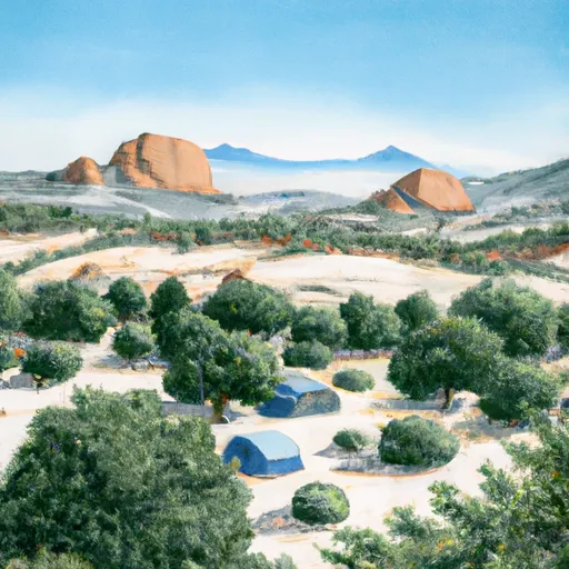
Area Campgrounds
| Location | Reservations | Toilets |
|---|---|---|
 Price Canyon Recreation Site
|
||
 Price Canyon
|
||
 Spruces Camp
|
||
 Granite Park Camp
|
||
 Crescent Ridge Camp
|
||
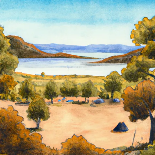 Beaver Lake Camp
|
 Price River