Summary
This segment of the Whitewater River is perfect for rafting enthusiasts and kayakers. The ideal streamflow range for this area is between 400 and 1200 cfs. This allows for the rapids to have enough water to create a thrilling experience while still being safe for participants.
The class rating for Fools Canyon is III to IV, which means that it is suitable for intermediate to advanced paddlers. The segment mileage is approximately seven miles long and takes around two to three hours to complete. During this time, participants will encounter several challenging rapids, including "Big Kahuna," "The Wall," and "The Squeeze."
Specific regulations to the area include the requirement that all participants must wear appropriate safety gear, including a helmet and life jacket. Additionally, all participants must follow Leave No Trace principles and pack out all trash and waste.
In conclusion, Fools Canyon is a thrilling river run located in Utah. It offers participants a challenging experience with its Class III to IV rapids and specific regulations to ensure the safety of all participants. The ideal streamflow range, segment mileage, and specific river rapids/obstacles make it a popular destination for rafting enthusiasts and kayakers alike.
°F
°F
mph
Wind
%
Humidity
15-Day Weather Outlook
River Run Details
| Last Updated | 2025-06-28 |
| River Levels | 14 cfs (1.76 ft) |
| Percent of Normal | 5% |
| Status | |
| Class Level | iii |
| Elevation | ft |
| Streamflow Discharge | cfs |
| Gauge Height | ft |
| Reporting Streamgage | USGS 09337500 |


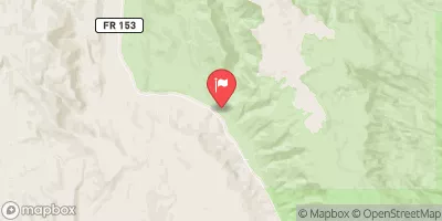
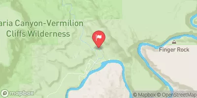
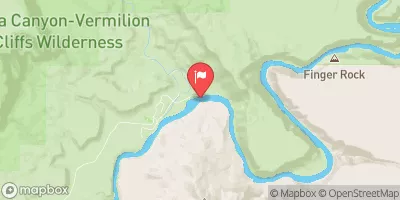
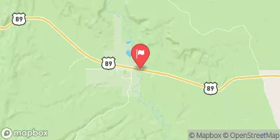
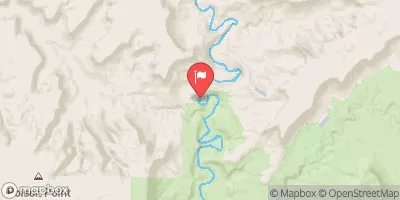
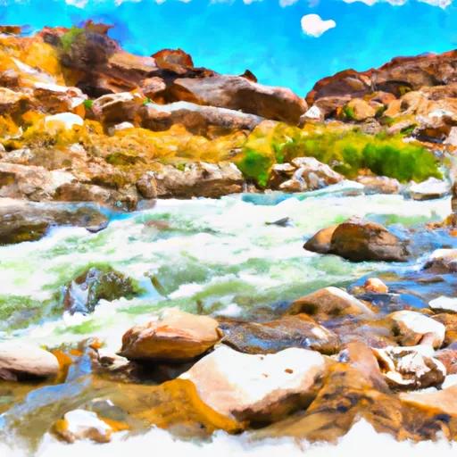 Fools Canyon
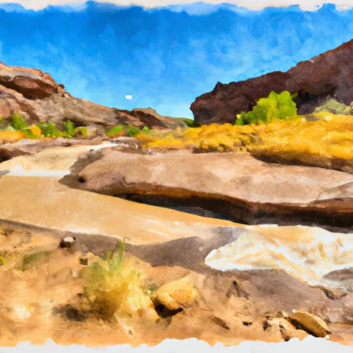 Scorpion Gulch
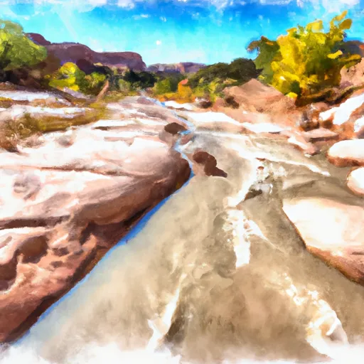 Escalante River