Summary
The ideal streamflow range for this segment is between 800-2,000 cfs, although it can be run at higher levels with caution.
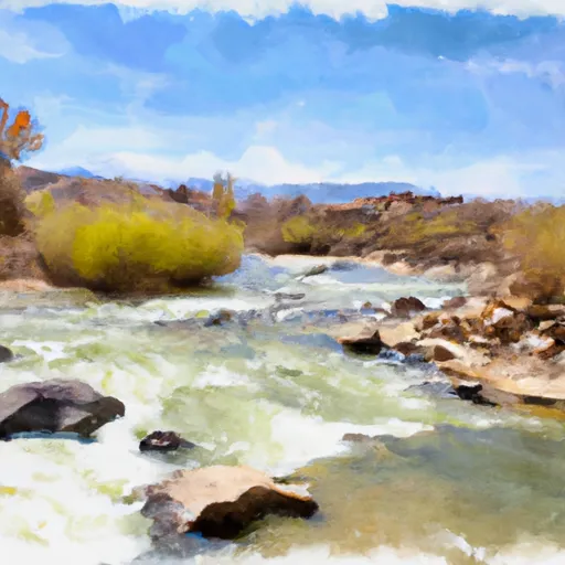
This segment is rated as a Class II-III run with several notable rapids and obstacles, including the Stateline Rapid, which is a Class III rapid that requires careful navigation to avoid a large boulder. Other notable rapids include Snaggletooth, Smoothie, and the Bedrock Rapid.
To protect the natural beauty of the area and ensure a safe experience, there are several regulations in place for the Dolores River Segment 2. These include a permit system that limits the number of daily launches, a requirement to pack out all trash and human waste, and a prohibition on motorized craft.
Overall, the Dolores River Segment 2 provides a thrilling whitewater experience for intermediate paddlers in a beautiful wilderness setting. It is important to check current streamflow levels and regulations before planning a trip to ensure a safe and enjoyable experience.
°F
°F
mph
Wind
%
Humidity
15-Day Weather Outlook
River Run Details
| Last Updated | 2025-06-28 |
| River Levels | 2820 cfs (10.85 ft) |
| Percent of Normal | 37% |
| Status | |
| Class Level | ii-iii |
| Elevation | ft |
| Streamflow Discharge | cfs |
| Gauge Height | ft |
| Reporting Streamgage | USGS 09180000 |


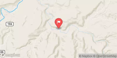
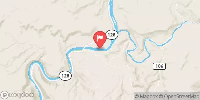
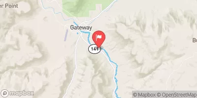
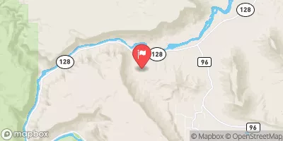
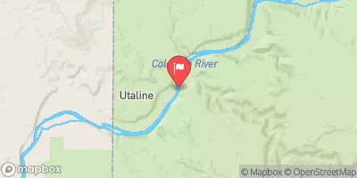
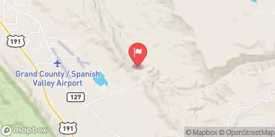
 Cowskin Camping Area
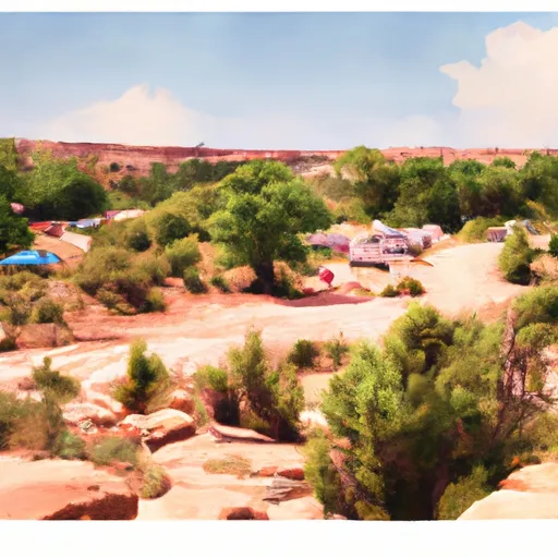 Dewey Bridge Campground
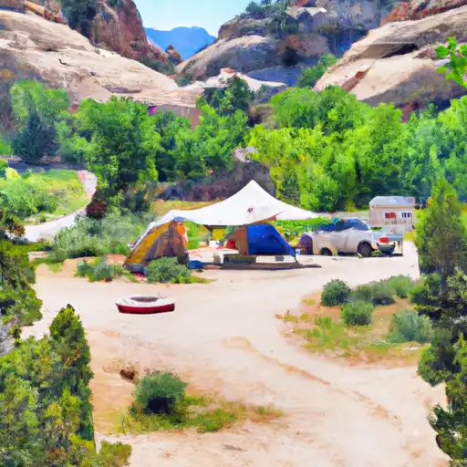 Dewey Bridge
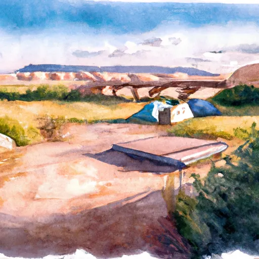 Dewey Bridge Recreation Site
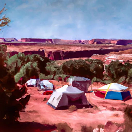 Hittle Bottom Recreation Site
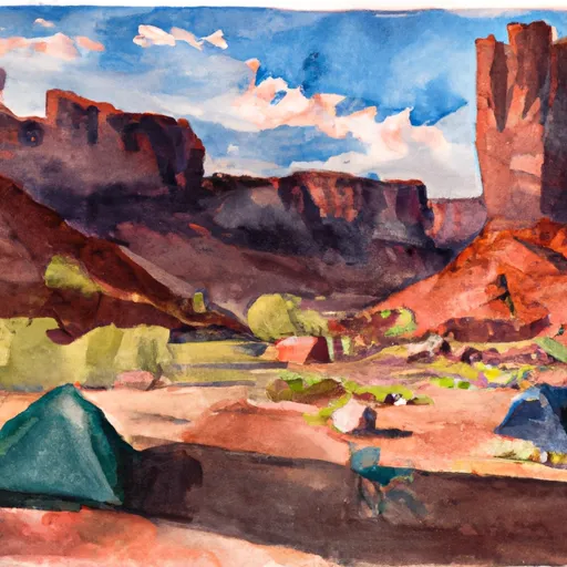 Fisher Towers Recreation Site
 Dewey Bridge Recreation Site
 Grand County
 Hittle Bottom Recreation Site
 Lower Onion Creek Boat Ramp
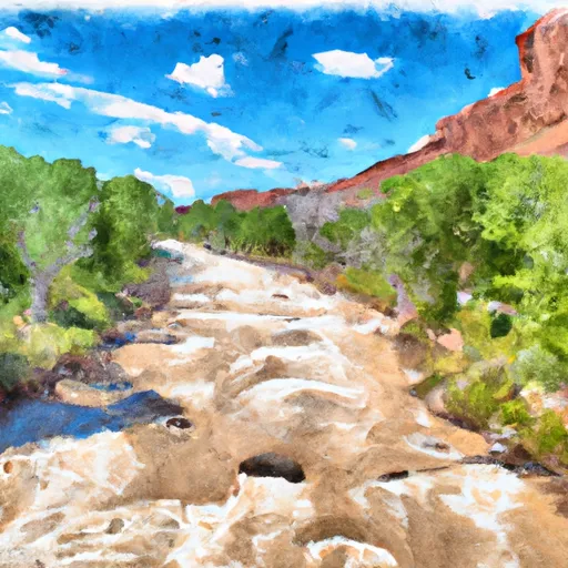 Dolores River Segment 2
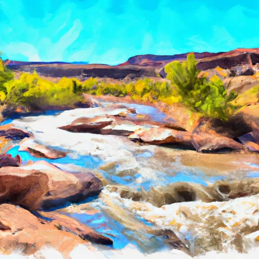 Granite Creek, Dolores River Segment 2
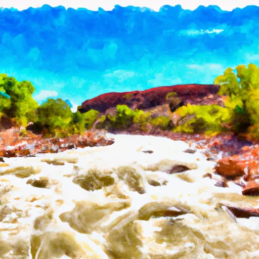 Dolores River Segment 1
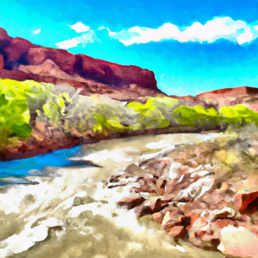 Fisher Creek, Dolores River Segment 1
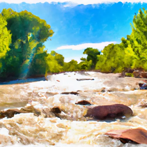 Fisher Creek
 Beaver Creek