
Summary
The ideal streamflow range for this river run is between 150-400 cfs, with the best time to run being during the spring runoff season. This river run is rated as Class IV, with several challenging rapids and obstacles that require advanced paddling skills.
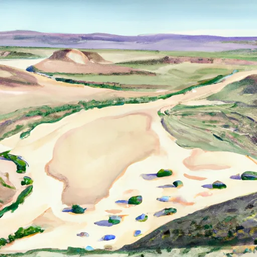
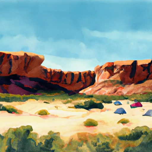
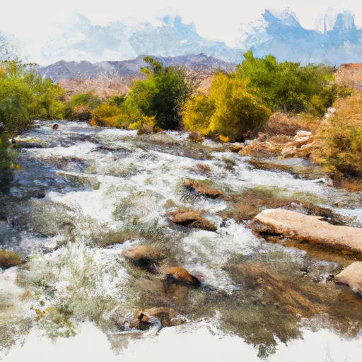
The La Verkin Creek segment starts at the Kolob Reservoir and runs for 14 miles, offering paddlers a thrilling ride with continuous rapids and drops. Some of the specific river rapids and obstacles on this segment include the Grotto, Waterfall, and the infamous Box Canyon, which is known for its tight walls and high-intensity rapids.
There are specific regulations to the La Verkin Creek area that paddlers must adhere to. All paddlers are required to have a permit, which can be obtained from the Bureau of Land Management. Additionally, paddlers must follow all Leave No Trace principles and avoid damaging the fragile ecosystem of the area.
Overall, the La Verkin Creek in Utah is an exciting whitewater river run that offers advanced paddlers a challenging adventure. With its ideal streamflow range, Class IV rating, and specific regulations, it is a must-visit destination for whitewater enthusiasts.
°F
°F
mph
Wind
%
Humidity
15-Day Weather Outlook
River Run Details
| Last Updated | 2025-06-28 |
| River Levels | 91 cfs (11.19 ft) |
| Percent of Normal | 87% |
| Status | |
| Class Level | iv-iv |
| Elevation | ft |
| Streamflow Discharge | cfs |
| Gauge Height | ft |
| Reporting Streamgage | USGS 09406100 |

5-Day Hourly Forecast Detail
Nearby Streamflow Levels
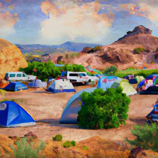
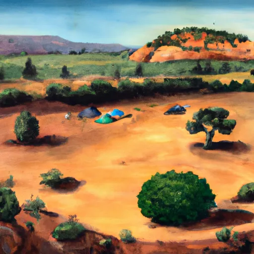
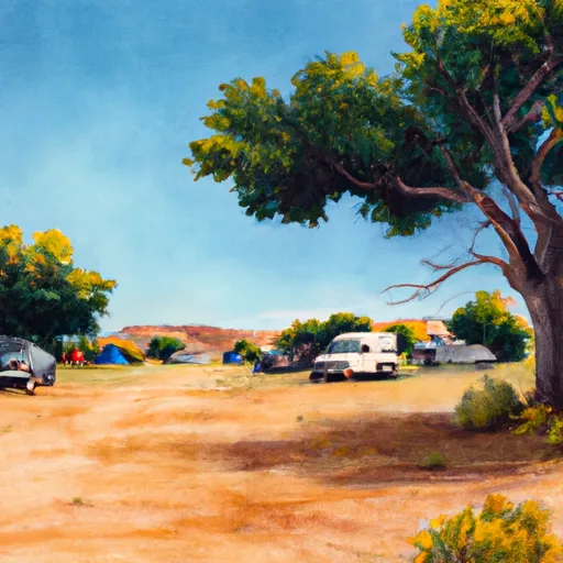
Area Campgrounds
| Location | Reservations | Toilets |
|---|---|---|
 Camping spot
|
||
 BLM Dispersed Camping
|
||
 BLM Campground
|
||
 Sand Cove Primitive Camping Area
|
||
 Oak Grove Road Campsite
|
||
 Campsite 3
|
 La Verkin Creek
 Red Butte Wilderness
 Wilderness Cottonwood Forest
 Quail Creek State Park
 Dixie National Forest