Summary
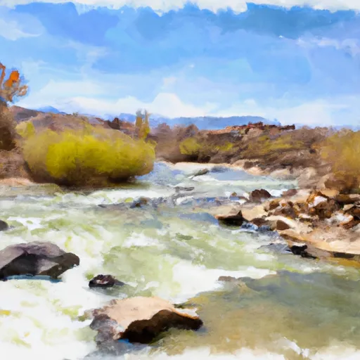
The Granite Creek segment on the Dolores River in Utah is a popular whitewater river run for kayaking and rafting enthusiasts. The ideal streamflow range for this section is between 300-1,500 cfs, with the best times to go being in May and June. The segment's class rating ranges from III-IV and covers 16 miles from the confluence with the West Fork of the Dolores River to the Slickrock takeout.
The granite canyon rapids and the boulder gardens are the most challenging obstacles found on this segment. The first rapid, "the Narrows," is a technical class IV rapid with a narrow chute and steep drops. The "Boulder Gardens" is another class IV rapid with large boulders to navigate around. Other notable rapids include the "Upper Granite," "Lower Granite," and "Little Niagara."
There are no specific regulations to this area; however, the Bureau of Land Management recommends wearing a lifejacket at all times while on the river. Additionally, it is recommended that all boaters have prior experience with class III-IV rapids before attempting this segment.
In conclusion, the Granite Creek segment on the Dolores River in Utah, with its ideal streamflow range, class rating, and challenging rapids, is a great location for experienced kayakers and rafters. While no specific regulations are in place, it is essential to follow safety guidelines and have experience with class III-IV rapids before attempting this segment.
°F
°F
mph
Wind
%
Humidity
15-Day Weather Outlook
River Run Details
| Last Updated | 2025-06-28 |
| River Levels | 2820 cfs (10.85 ft) |
| Percent of Normal | 37% |
| Status | |
| Class Level | iii-iv |
| Elevation | ft |
| Streamflow Discharge | cfs |
| Gauge Height | ft |
| Reporting Streamgage | USGS 09180000 |


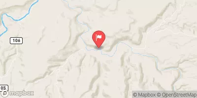
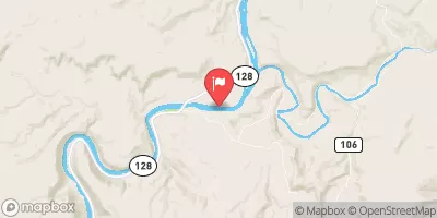
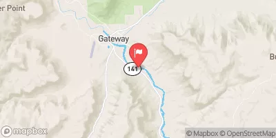
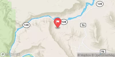
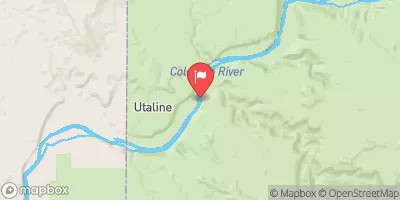
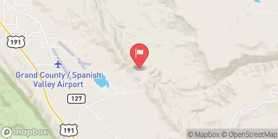
 Cowskin Camping Area
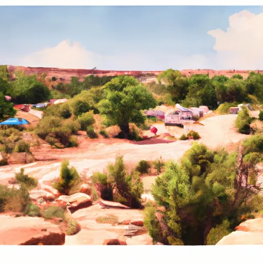 Dewey Bridge Campground
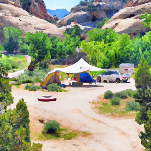 Dewey Bridge
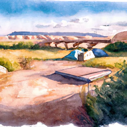 Dewey Bridge Recreation Site
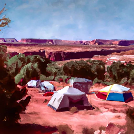 Hittle Bottom Recreation Site
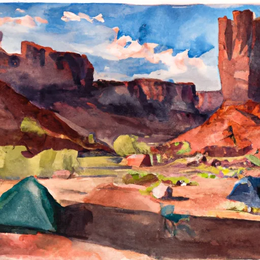 Fisher Towers Recreation Site
 Grand County
 Dewey Bridge Recreation Site
 Hittle Bottom Recreation Site
 Lower Onion Creek Boat Ramp
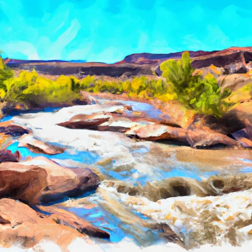 Granite Creek, Dolores River Segment 2
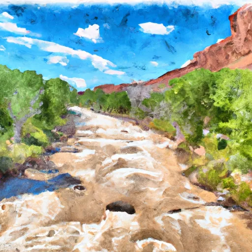 Dolores River Segment 2
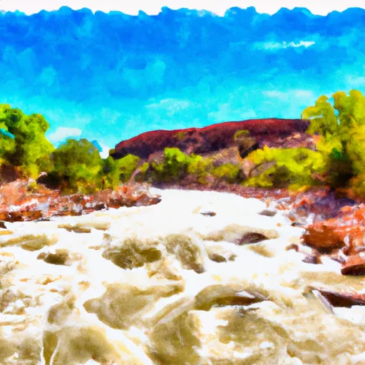 Dolores River Segment 1
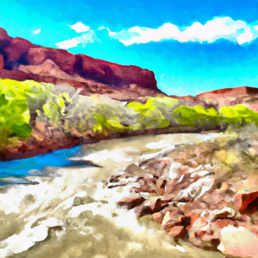 Fisher Creek, Dolores River Segment 1
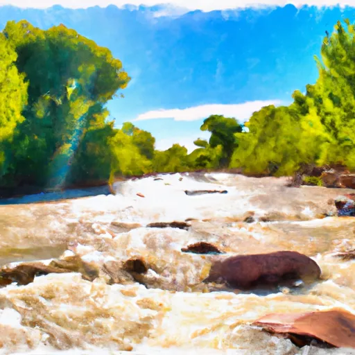 Fisher Creek
 Beaver Creek