2026-02-18T17:00:00-07:00
* WHAT...Snow expected. Total snow accumulations between 1 to 4 inches with higher totals up to 10 inches above 7000 feet. * WHERE...South Central Utah, Upper Sevier River Valleys, and Zion National Park. * WHEN...From 8 PM this evening to 5 PM MST Wednesday. * IMPACTS...Winter driving conditions are likely.
Summary
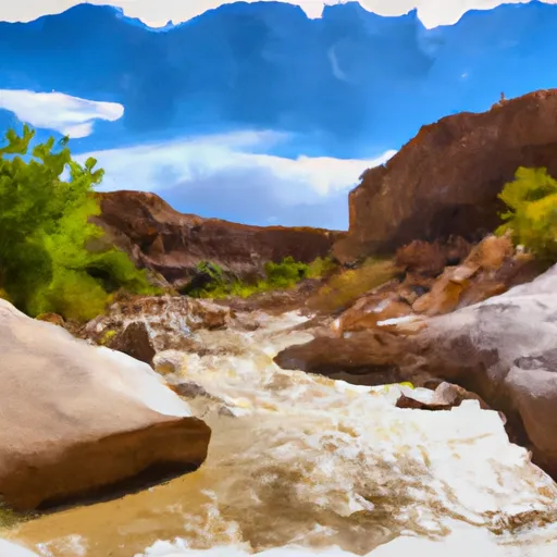
The ideal streamflow range for this river is around 100-150 cfs, although it can range from 50-300 cfs depending on the time of year and weather conditions. The class rating for this river is class III-IV, with some challenging rapids and obstacles that require technical skills and experience to navigate safely.
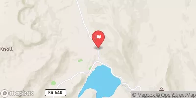
The segment of the river used for Water Canyon runs for about 5 miles, starting at the Upper Falls and ending at the Lower Falls. Some of the notable rapids along this stretch include Devil's Eye, Hurricane, and Lava Falls. These rapids offer exciting drops, powerful waves, and technical maneuvers that require careful planning and execution.
To ensure the safety of all participants, there are specific regulations in place for Water Canyon. For example, all participants are required to wear personal flotation devices (PFDs) and helmets at all times while on the river. In addition, there are restrictions on the use of motorized boats and other equipment that could potentially harm the environment or other river users.
Overall, Water Canyon is a thrilling whitewater river run that offers a challenging and exciting experience for experienced paddlers. With the right skills, equipment, and preparation, it can be a rewarding and memorable adventure.
°F
°F
mph
Wind
%
Humidity
15-Day Weather Outlook
River Run Details
| Last Updated | 2025-06-28 |
| River Levels | 14 cfs (1.76 ft) |
| Percent of Normal | 5% |
| Status | |
| Class Level | iii-iv |
| Elevation | ft |
| Streamflow Discharge | cfs |
| Gauge Height | ft |
| Reporting Streamgage | USGS 09337500 |


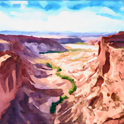 Horse Canyon - Grand Staircase Nat Mon
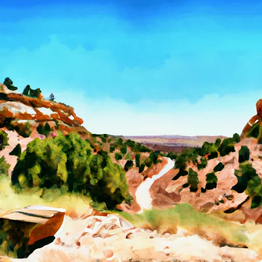 Steep Creek Bench - Burr Trail Rd - Grand Staircase Nat Mon
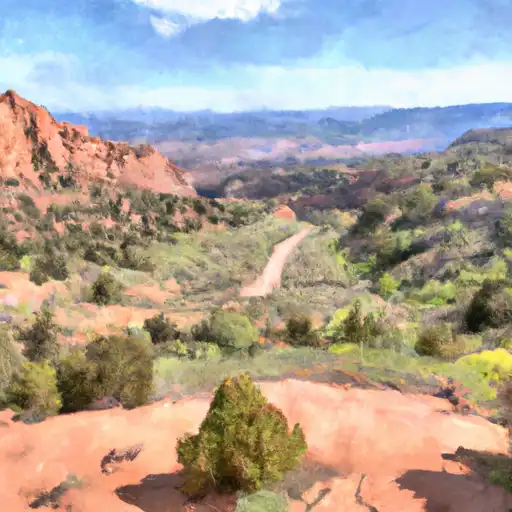 Deer Creek- Burr Trail Rd - Grand Staircase Nat Mon
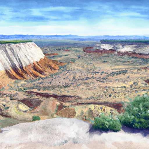 Durffey Mesa Dispersed - Burr Trail Rd - Grand Staircase Nat Mon
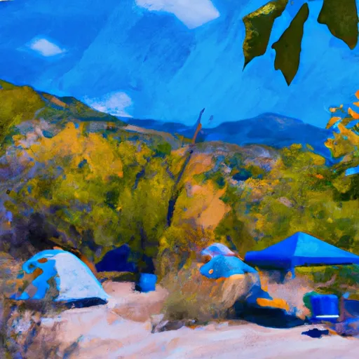 UPPER PLEASANT CREEK CAMPGROUND
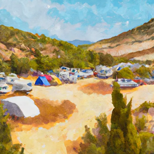 LOWER BOWNS CAMPGROUND
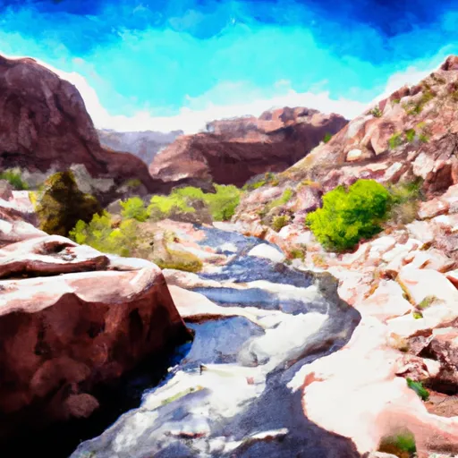 Water Canyon
 The Gulch
 Steep Creek
 Headwaters To Nf Boundary