2026-02-18T17:00:00-07:00
* WHAT...Snow expected. Total snow accumulations between 1 to 4 inches with higher totals up to 10 inches above 7000 feet. * WHERE...South Central Utah, Upper Sevier River Valleys, and Zion National Park. * WHEN...From 8 PM this evening to 5 PM MST Wednesday. * IMPACTS...Winter driving conditions are likely.
Summary
The ideal streamflow range for this segment is between 400-800 cfs. The segment is rated as Class III-IV, with some sections containing Class V rapids. The total segment mileage is around 5 miles, with the run taking approximately 2-3 hours to complete.
Some of the specific rapids and obstacles on this segment include Entrance, Rapid 59, and S-Turn. Entrance is a Class IV rapid that requires precise maneuvering through a narrow channel. Rapid 59 is a Class V rapid that drops over 20 feet in a short distance, and requires advanced technical skills to navigate. S-Turn is a Class III rapid that twists and turns through a narrow canyon.
There are specific regulations to follow when accessing and navigating this segment. All boaters must obtain a permit from the Bureau of Land Management before entering the area. Additionally, boaters must follow Leave No Trace principles and respect the natural environment. Camping is not allowed along the river, and fires are only allowed in designated fire rings.
Overall, the Water Canyon Segment 20-21 offers a challenging and thrilling whitewater rafting experience for experienced boaters. It is important to always prioritize safety and follow regulations when exploring this area.
°F
°F
mph
Wind
%
Humidity
15-Day Weather Outlook
River Run Details
| Last Updated | 2025-06-28 |
| River Levels | 5 cfs (11.61 ft) |
| Percent of Normal | 122% |
| Status | |
| Class Level | iii-iv |
| Elevation | ft |
| Streamflow Discharge | cfs |
| Gauge Height | ft |
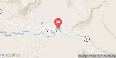
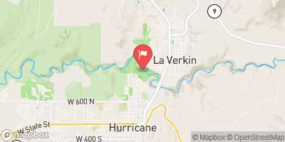
| Reporting Streamgage | USGS 09403600 |


 Meadows Dispersed - Coral Pink Sand Dunes
 Ponderosa Grove Campground
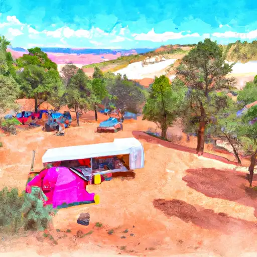 Ponderosa Grove - Coral Pink Sand Dunes
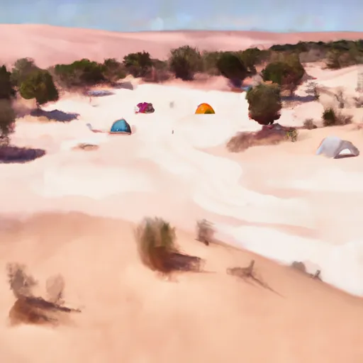 Coral Pink Sand Dunes State Park
 Kanab RV Corral
 Mount Carmel Free Campsite
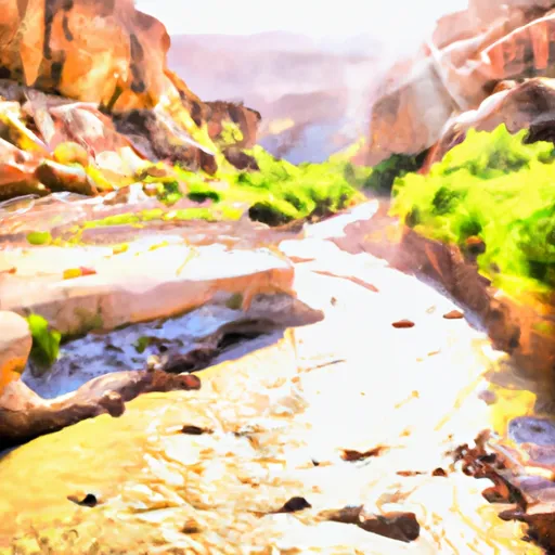 Water Canyon Segment 20-21
 Indian Canyon, South Fork Segment 22-23
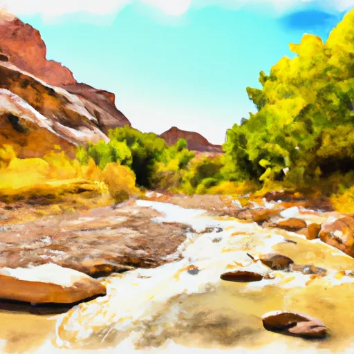 Indian Canyon Seg 24-25, North Branch South Fork
 Hell Dive Canyon Segment 30-31
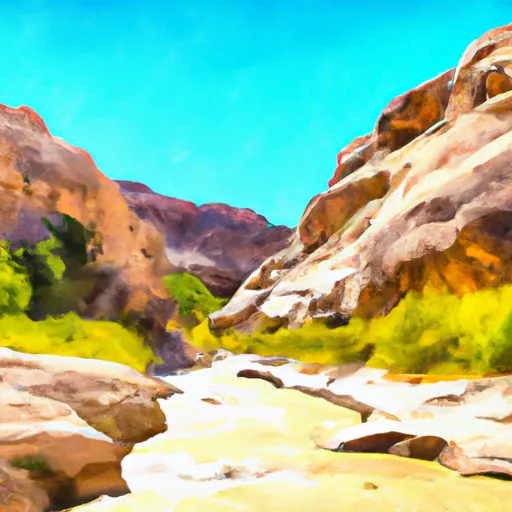 Indian Canyon Segment 26-27
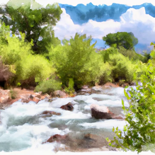 Cottonwood Creek Segment 28-29