
Summary
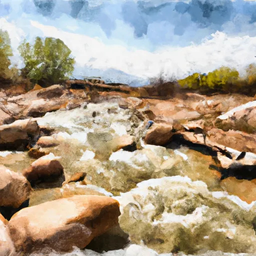
The ideal streamflow range for Rock Creek is between 200 and 700 cubic feet per second (cfs), although it can go as high as 1200 cfs during peak runoff season. With a class rating of III-IV, this river run is recommended for experienced boaters only as it features challenging rapids and obstacles.
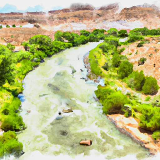
The segment mileage for Rock Creek is about 13 miles, starting from the Upper Rock Creek Campground and ending at the confluence with the Duchesne River. Along the way, boaters will encounter several rapids, including Shark's Tooth, Pinball Alley, and S-Turn, which provide a thrilling experience for those who dare to take on the challenge.
Boaters must comply with specific regulations when using the Rock Creek river run. For example, a permit is required to access the river run, and boats must have adequate safety equipment, including personal flotation devices (PFDs) and helmets. Furthermore, motorized boats and other watercraft are not allowed on the river run, and boaters must maintain a minimum distance of 150 feet from private property.
In conclusion, Rock Creek is a challenging and exhilarating whitewater river run in Utah. With an ideal streamflow range of 200-700 cfs, a class rating of III-IV, and several rapids and obstacles, this river run is only suitable for experienced boaters. Boaters must also comply with specific regulations to ensure a safe and enjoyable experience.
River Run Details
| Last Updated | 2025-06-28 |
| River Levels | 82 cfs (7.84 ft) |
| Percent of Normal | 20% |
| Status | |
| Class Level | None |
| Elevation | ft |
| Streamflow Discharge | cfs |
| Gauge Height | ft |
| Reporting Streamgage | USGS 09314500 |

Weather Forecast
Nearby Streamflow Levels
 Price River At Woodside
|
34cfs |
 Desert Seep Wash Near Wellington
|
2cfs |
 Green River At Green River
|
1730cfs |
 Duchesne River At Myton
|
55cfs |
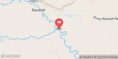
 Duchesne R Ab Uinta R Near Randlett
|
57cfs |
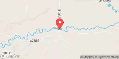
 Duchesne River Near Randlett
|
77cfs |
 Green River
 Rock Creek