2026-02-18T17:00:00-07:00
* WHAT...Snow expected. Total snow accumulations between 1 to 4 inches with higher totals up to 10 inches above 7000 feet. * WHERE...South Central Utah, Upper Sevier River Valleys, and Zion National Park. * WHEN...From 8 PM this evening to 5 PM MST Wednesday. * IMPACTS...Winter driving conditions are likely.
Summary
The ideal streamflow range for this river is between 400-1,000 cfs, although it can be run as low as 300 cfs or as high as 2,000 cfs. This river is rated as a Class III-IV run, with some sections reaching Class V during high water.
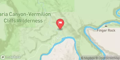
The segment mileage for Choprock Canyon is approximately 13 miles, starting at Sand Island campground and ending at the takeout at Mexican Hat Bridge. This section of river features several challenging rapids, including Big Drop 2, Government Rapid, and the infamous House Rapid.
Big Drop 2 is a Class V rapid that requires precise maneuvers and expert boat control. Government Rapid is a Class IV rapid with several large waves and holes. House Rapid is a Class III+ rapid with a large, churning hole that can flip boats if not navigated carefully.
Specific regulations to the area include a permit requirement for commercial outfitters and a limit on the number of private boaters allowed on the river per day. Additionally, all boaters are required to pack out all trash and follow Leave No Trace principles.
°F
°F
mph
Wind
%
Humidity
15-Day Weather Outlook
River Run Details
| Last Updated | 2025-06-28 |
| River Levels | 14 cfs (1.76 ft) |
| Percent of Normal | 5% |
| Status | |
| Class Level | iii-iv |
| Elevation | ft |
| Streamflow Discharge | cfs |
| Gauge Height | ft |
| Reporting Streamgage | USGS 09337500 |


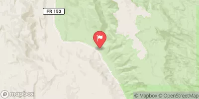
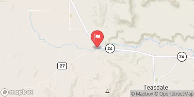
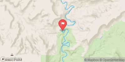
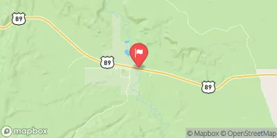
 Choprock Canyon
 Escalante River